Get Full Government Meeting Transcripts, Videos, & Alerts Forever!
Get email alerts on the Major Thoroughfare Plan topic
No spam. Unsubscribe anytime.
Waller County approves Blumberg 209 LLC amendment to major thoroughfare map after public hearing
Summary
After a public hearing, commissioners approved a map amendment that removes two east–west alignments and establishes a westward realignment intended to reduce floodplain impacts and preserve property lines; staff recommended an annual amendment window and coordination with TxDOT.
Waller County Commissioners Court on Jan. 23 approved a major thoroughfare plan map amendment requested by Blumberg 209 LLC after a public hearing and staff review.
The amendment affects the northeast quadrant of Highway 6 and U.S. 290 and replaces two existing east–west alignments with a single westward alignment, which staff said would connect Lakeview to Highway 6 while minimizing impacts to adjacent property owners and avoiding floodplain complications.
Why it matters
County staff said constructing a major thoroughfare through the floodplain would be expensive and require elevating the roadway, complicating access and engineering tie-ins with existing highways. The proposed change routes the thoroughfare along property lines to reduce the need for elevation and lessen the burden on adjacent owners.
What staff told the court
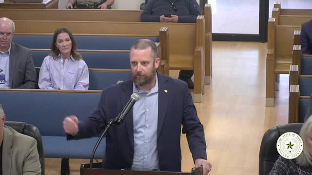
Ross, a Road and Bridge staff member, told the court the red dashed lines on the map represented existing alignments recommended for removal and that the green line showed the new alignment to the west. Ross said staff reviewed the request and that the green alignment "is routed along the property lines to minimize the impact to the property owners." He added that building in the floodplain "is costly, has to be elevated" and creates engineering and access challenges.
Court discussion and process changes
Commissioners asked whether the court should formalize an annual process for major thoroughfare plan amendments. One commissioner proposed starting a once-a-year submittal window in September with court action in December–January so that developer requests are handled in a batch process. County staff agreed to consult the legal department and return with a recommended process and to coordinate with the Texas Department of Transportation (TxDOT) on any required updates to the county corridor agreement.
Public comment and responses
During the public hearing several court members and staff asked technical and process questions about how the new alignment would tie into nearby roads and whether the land would be in a utility district or have a development agreement. Staff said the tract in question is about 209 acres and indicated it may become a utility district; the presence of a development agreement was not confirmed during the hearing. Staff also noted that the county must coordinate amendments with TxDOT and that streamlining multiple requests into a single annual submission could simplify TxDOT resubmission and approval.
Vote and next steps
After the hearing closed the court voted to approve the amendment. Staff said the next steps include legal review of the proposed annual amendment process and coordination with TxDOT to update the county corridor agreement as necessary.
Speakers
- Ross, Road and Bridge staff (first reference: provided map explanation and engineering concerns) - Robert, county staff (asked questions about process and legal review) - Unnamed commissioners (asked questions during public hearing)
Authorities
- County corridor agreement with the Texas Department of Transportation (TxDOT) — referenced in discussion as a document that must be resubmitted and recertified when thoroughfare amendments are made (contract)
Ending
Staff will return to the court with legal recommendations on creating an annual amendment process and will coordinate any required TxDOT resubmission or corridor agreement recertification before implementing the map amendment.