Get Full Government Meeting Transcripts, Videos, & Alerts Forever!
County Land Conservation says drone bathymetry saved about $10,000 in lake dredging work
Summary
Eau Claire County Land Conservation reported using drone surveys to measure sand trap dredging and sand‑spoil volumes, estimating savings of about $10,000 in outside surveying costs and noting close agreement with contractor volume estimates.
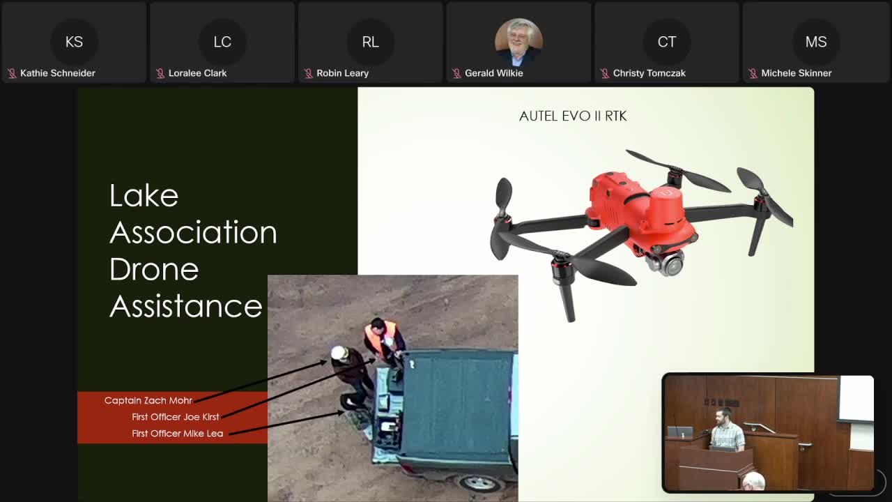
Eau Claire County’s Land Conservation Division told the county board on Jan. 21 that drone‑based bathymetry and photogrammetry provided accurate, low‑cost measurements of sediment removed from sand traps upstream of Lake Altoona.
Zach Moore, conservation engineering coordinator with the county Land Conservation Division, said pilots flew drones before and after dredging and used the resulting digital terrain models to estimate the volume…
Already have an account? Log in
Subscribe to keep reading
Unlock the rest of this article — and every article on Citizen Portal.
- Unlimited articles
- AI-powered breakdowns of topics, speakers, decisions, and budgets
- Instant alerts when your location has a new meeting
- Follow topics and more locations
- 1,000 AI Insights / month, plus AI Chat