Get Full Government Meeting Transcripts, Videos, & Alerts Forever!
Get email alerts on the Environment And Water Management topic
No spam. Unsubscribe anytime.
County Land Conservation says drone bathymetry saved about $10,000 in lake dredging work
Summary
Eau Claire County Land Conservation reported using drone surveys to measure sand trap dredging and sand‑spoil volumes, estimating savings of about $10,000 in outside surveying costs and noting close agreement with contractor volume estimates.
Eau Claire County’s Land Conservation Division told the county board on Jan. 21 that drone‑based bathymetry and photogrammetry provided accurate, low‑cost measurements of sediment removed from sand traps upstream of Lake Altoona.
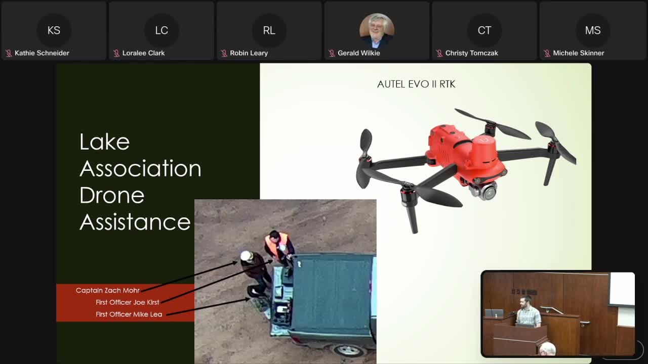
Zach Moore, conservation engineering coordinator with the county Land Conservation Division, said pilots flew drones before and after dredging and used the resulting digital terrain models to estimate the volume of sand hauled to spoil sites. "The drone is very accurate," Moore said. "It takes a lot of points per foot and saved about $10,000 in outside surveying fees for this project." He told supervisors the drone-based volume measures were within about 2,000 cubic yards of full-survey estimates on a pile of roughly 50,000–60,000 cubic yards — a level of accuracy Moore described as acceptable for planning and contract verification.
Michelle Skinner, chair of the Lake Altoona District Board, told supervisors the Lake District used an ARPA grant obtained through the county to purchase the drones and praised the county partnership. "Land Conservation has done a bang‑up job — it saves us money and helps the county plan and track dredging more accurately," Skinner said.
Why it matters: Accurate pre‑ and post‑dredge measurements help lake associations and contractors confirm contracted volumes and plan spoil‑site elevation needs. Moore said the county’s technique enables a quicker and cheaper routine measurement to inform contracting and budgeting decisions for future dredging and shoreline management work.
County staff said the drone workflow allows them to estimate volumes before material is moved to spoil sites, improving contract oversight, and that captured data is integrated into county analysis for future planning.