Get Full Government Meeting Transcripts, Videos, & Alerts Forever!
Get email alerts on the Neighborhood Planning topic
No spam. Unsubscribe anytime.
San Marcos staff outline Blanco Gardens neighborhood area plan, set adoption schedule
Summary
City planning staff presented the Blanco Gardens neighborhood area plan, which summarizes community engagement, recommends safety and streetscape improvements, and sets a March adoption timeline following Planning & Zoning review.
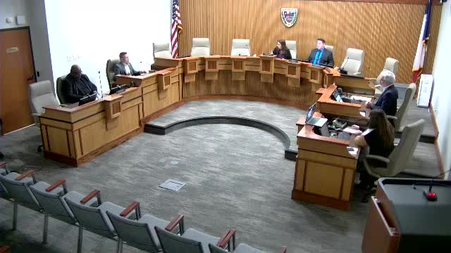
Britney Faulkner, senior planning technician for the City of San Marcos, presented an update on the Blanco Gardens neighborhood area plan, describing the plan boundary, outreach and the actions staff recommends for adoption.
The plan covers the area bounded by I‑35, State Highway 80 and River Road and is one of seven area plans tied to the city’s comprehensive plan, Faulkner said. “The role of neighborhood area planning is to look at and balance the needs of specific neighborhoods with opportunities for those neighborhoods,” she said.
Faulkner told council the plan grew from an engagement process that began in October 2022 and included five steering-committee meetings (including a walking tour), two community workshops, and several intercept events. Staff mailed roughly 1,500 bilingual postcards for each major engagement event and said more than 300 comments were received during the two workshops and the draft-plan comment period. Faulkner said summary reports for each engagement event are included in appendix C of the draft plan.
The plan is organized into seven topic areas: getting around; history, art and culture; public spaces and amenities; streetscapes; business and economy; housing; and building form and development. Each topic includes existing-condition observations, community feedback and specific recommendations the city could lead. Faulkner highlighted a number of recommendations that came directly from residents, including: installing permanent four‑way stop signs at River Road and Cape Road after temporary signs were placed during nearby construction; identifying a priority walking-loop route along River Road, Bug Lane and Linda Drive (proposed as the Cuevas walking loop in recognition of a long‑standing neighborhood business); and targeted streetscape upgrades to improve pedestrian safety near Stokes Park.
Faulkner said the plan includes an action plan that lists short-term items, potential leaders and partners, likely city drivers (public works, parks and recreation, engineering) and a list of financing tools and outside funding sources staff might pursue. She said the neighborhood-character study appended to the plan documents lot sizes, architectural styles and other metrics that will be made available after adoption and used in predevelopment meetings to guide compatibility of new projects.
Staff described the adoption process: the plan will go to the Planning & Zoning Commission on Feb. 11 for a recommendation, then to City Council for a public hearing and discussion on March 4 (no action expected), and finally for council action on March 18. Faulkner said implementation of recommendations will require later updates to the development code, inclusion of projects in the capital-improvement program and separate funding or project steps.
A council member (unnamed in the transcript) thanked staff and said the plan contains ideas that could be adapted for other neighborhoods. Amanda Hernandez, director of planning and development services, introduced Faulkner and noted Faulkner was the project manager for the area plan.
The presentation concluded with staff offering a project story map and an invitation to a neighborhood presentation where community members can ask questions about the plan and review the adoption schedule.