Get Full Government Meeting Transcripts, Videos, & Alerts Forever!
Get email alerts on the Land Information topic
No spam. Unsubscribe anytime.
Dane County outlines 2025–27 land information plan, highlights NextGen 911 and address-point projects
Summary
Dane County Land Information Office presented its 2025–27 Land Information Plan to the County Board, emphasizing address-point data updates to support NextGen 911, countywide aerial imagery in 2026 and new 1-foot contour data in 2025.
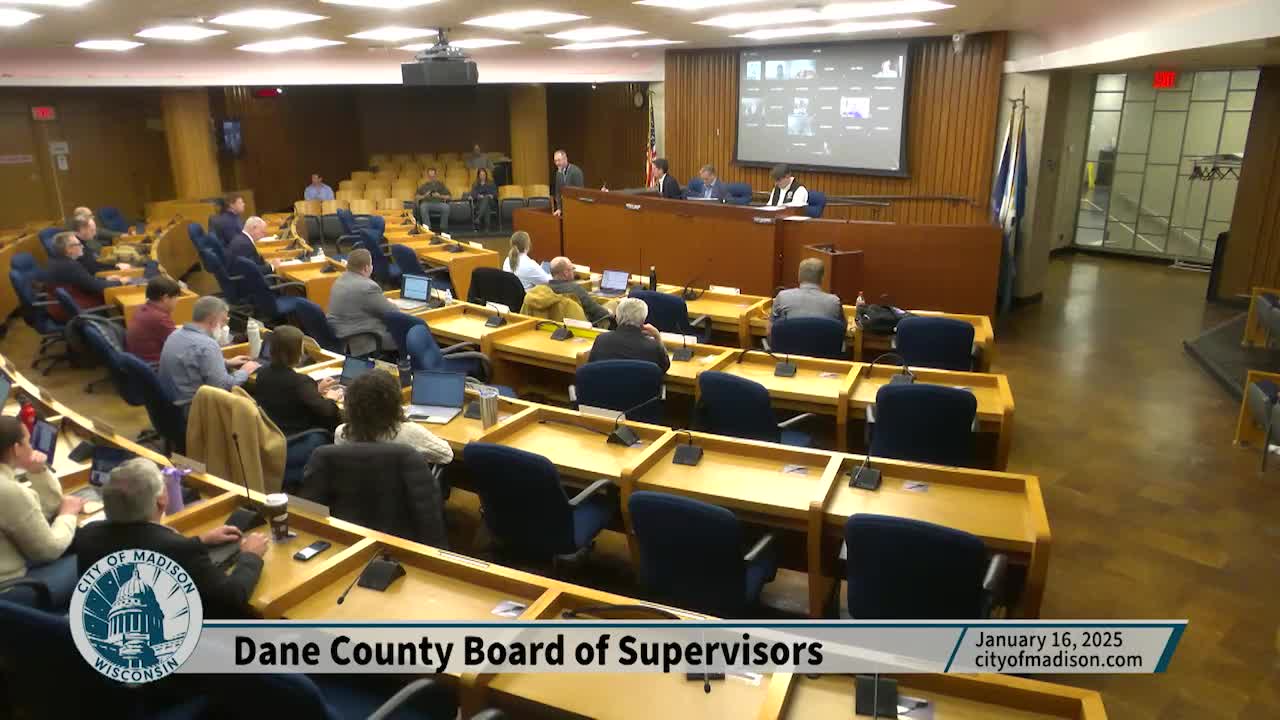
The Dane County Land Information Office (LIO) presented its Land Information Plan for 2025–2027 to the Dane County Board of Supervisors, outlining projects to modernize land records and support emergency services.
Fred Yalsley of the Land Information Office told the board the plan is required for participation in the Wisconsin Land Information Program (WLIP) and is intended to qualify the county for WLIP grants and to retain certain document-recording fees. The plan, he said, guides prioritization of grant funding and describes county and municipal data and service needs.
The plan lists several multi-year projects. Yalsley highlighted three: building and maintaining a comprehensive county address-point dataset (used together with street centerline data), supporting Wisconsin’s NextGen 911 system by providing more frequent data updates to the Wisconsin Office of Emergency Communications, and updating county imagery and elevation data. The LIO expects to receive new data that supports 1-foot contours in 2025 and plans countywide aerial imagery in spring 2026 to update orthophotos and related datasets.
Yalsley said the LIO provides hardware and software management, develops web applications and data services, and coordinates with county departments and municipalities. The office sits in the division of information management under the Dane County Department of Administration and works with an advisory Land Information Council chaired by the county’s Land Officer, Todd Violante. The LIO’s work supports county operations (including 911), municipal partners, and public access to authoritative geographic data.
When asked whether the LIO could support public access to parcel-related records such as property maintenance or code enforcement documents, Yalsley said the office could build web applications to surface those records, but doing so would require structured databases and scanned documents to enable searching. He noted similar public access already exists for tax-parcel information and Register of Deeds documents and said the LIO can create comparable interfaces if the underlying records and resources are available.
Yalsley described the plan as a “living document” that will be adjusted as priorities and resources change; he also noted projects may extend beyond the plan’s three-year window depending on funding and staffing. He invited board members and the Land Information Council to follow up with questions and referenced the plan included in the meeting packet.
The presentation closed with no substantive follow-up questions beyond the parcel-records discussion.
The Land Information Plan will be used to seek WLIP funding and to coordinate county GIS and mapping work over the next several years.