DeSoto staff demonstrates interactive map showing current and proposed Hampton Road corridor zoning
Get AI-powered insights, summaries, and transcripts
Subscribe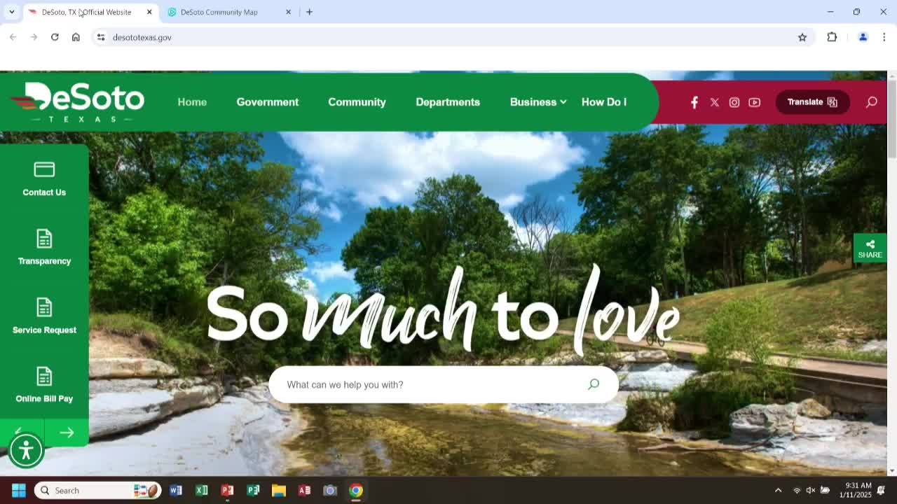
Summary
A City of DeSoto staff member demonstrated how residents and property owners can use the city's interactive map and the Hampton Road corridor plan map to view current zoning and proposed zoning districts for parcels in the Hampton Road project area.
A City of DeSoto staff member demonstrated an online interactive map that lets users view current and proposed zoning for parcels within the Hampton Road corridor project.
The staff member told the meeting, "you can find any tract of land in the city of DeSoto from this map," and walked through steps to access parcel-level information including existing zoning and the proposed Hampton Road corridor districts. The tool shows a colored legend for the corridor's proposed five districts and allows users to click individual parcels to see both current and proposed designations.
The demonstration showed how to reach the tool from the city website: hover over the Business menu and select the Hampton Road corridor plan map (or the Interactive Map for general parcel searches). Within the map, users can click the magnifying-glass search icon to enter an address, open the Layers menu, select Planning and Zoning to display zoning colors, then click a parcel to view a pop-up with current zoning and the proposed Hampton Road corridor zoning.
As an example, the presenter clicked a parcel labeled "PD 130" to show a zoning code display and then selected a separate parcel at 400 North Hampton Road. The staff member said 400 North Hampton Road is currently zoned "general retail" and that the proposed Hampton Road designation for that parcel would be "Urgent General," which the presenter described as allowing mixed-use shopping, professional office, apartments and townhomes.
The presenter said the map includes a legend for the proposed districts and a document link that provides detailed information about the new zoning. The staff member also said that current zoning information is available on the city's planning and zoning pages.
The city demonstration was instructional; there were no motions, votes or formal decisions recorded during this presentation. For users seeking the map, the staff member directed them to the city website under Business > Hampton Road corridor plan map.