Get Full Government Meeting Transcripts, Videos, & Alerts Forever!
Get email alerts on the River Access topic
No spam. Unsubscribe anytime.
Planning commission approves Columbia Park river access, sets conditions and permit requirements
Summary
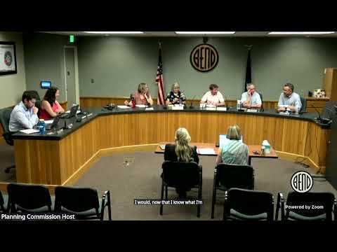
The Bend Planning Commission voted to approve a waterway overlay zone application to build a formal river access and riparian restoration at Columbia Park, approving the Bend Park & Recreation District plan subject to six staff conditions and required state and federal permits.
The Bend Planning Commission on June 9 approved a waterway overlay zone application to create a formal river access and restoration project at Columbia Park, downstream of the Gilchrist Footbridge, subject to six conditions and submission of required state and federal permits.
City staff told commissioners the project, led by the Bend Park & Recreation District, would provide a durable, ADA-accessible entry to the Deschutes River, stabilize and restore about 200 linear feet of riverbank and close nearby user-created access points. Aaron Hudson, a city planner, summarized the staff recommendation: "We recommend approval subject to six conditions," including proof of Army Corps of Engineers and Department of State Lands permits, a city grading permit and documentation of easements or agreements for an existing stormwater pipe.
The commission's vote follows a detailed staff and applicant presentation and nearly two hours of public testimony that split neighborhood views. Proponents, including nearby homeowners and local recreation groups, said a designed access point would reduce random trampling of riparian vegetation, provide safer egress for river users and keep local trips within the neighborhood. Opponents, primarily Riverfront Street residents, warned that reopening access could increase noise, late-night partying and unsafe bridge jumping and asked the commission to consider impacts to private property and erosion on the opposite bank.
The proposal shown to the commission includes a concrete landing, concrete steps with an ADA transfer system, boulder terracing and a fenced revegetation area. Applicant representatives described erosion and structural problems with the old access, noted the site has temporary fencing since 2020, and said the new design is smaller than some recent river-access projects in Bend. Mason Lacy, a professional engineer with Environmental Science Associates contracted to the park district, said the project team conducted hydraulic and no-rise analyses required for floodplain work and estimated the deepest part of the channel in the area "at least ... 15 feet deep." He told commissioners construction is planned for the low-flow season; if permits align the team hopes to begin construction this fall and have the site open the following summer.
City staff and the applicant said impacts were minimized in design. The presentation noted permanent and temporary impact areas, proposed aquatic enhancement zones and that the removal is limited to one elm tree (a multi-trunk specimen). Staff said surrounding property owners and state agencies were notified; state agencies returned no substantive comments in the record. The city will require copies of federal and state permits before construction begins and a grading permit from the city engineering division. Staff also flagged an undocumented stormwater pipe easement; the city and park district are working on agreed easement language and verified consultation with the National Park Service where an LWCF (Land and Water Conservation Fund) easement encumbers the property.
During deliberations commissioners repeatedly cited erosion, safety and the practical limits of enforcement. Commissioner John Labatt (planning commissioner) said channeling foot traffic to a constructed access is preferable to continued uncontrolled use that accelerates bank erosion. Several commissioners urged better coordination with the city's bridge project at Gilchrist Footbridge and with enforcement agencies, noting bridge jumping and late-night parties are a separate but related public-safety concern.
Public testimony spanned pro and con. Dan Pilber, a neighborhood resident, urged approval, saying a recent Parks and Rec survey showed 75% community support and that "creating a safe river access along with restoring the riparian habitat is the best thing we can do for conservation and for our neighborhood." Janice Schmidt, a Riverfront Street resident, opposed the project and described past rescues and injuries near the site: "That water moves too fast. It's too quick," she said, arguing reopening would worsen nighttime disturbances and risks to property owners.
The commission approved the application based on staff findings and by the motion recorded on the public transcript. The approval is subject to the staff-recommended conditions, including submittal of required Army Corps and Department of State Lands permits, a city grading permit, verification of easement or maintenance agreements for the stormwater pipe, tree protection measures for trees to be retained, a right-of-way permit for work affecting the sidewalk and other standard construction conditions. The commission did not specify a construction start date in its vote; staff and the applicant said permits and funding timelines will determine the schedule.
What the commission approved is the land use overlay (waterway overlay) review for the Columbia Park River Access and Restoration project (PELW0Z20250148). The project now moves to implementation steps required by the conditions of approval and by state and federal permit processes.
Commissioners, applicants and staff said they expect continued coordination among the city, the park district and enforcement agencies as the project moves forward.