Get Full Government Meeting Transcripts, Videos, & Alerts Forever!
Get email alerts on the Land Use Zoning topic
No spam. Unsubscribe anytime.
Fort Pierce planning board recommends future land use and zoning change for four parcels along Avenue D
Summary
The Fort Pierce Planning Board voted unanimously to recommend a small‑scale future land‑use map amendment and zoning reclassification for four county‑owned parcels along Avenue D to allow commercial designation and use under the Live Local Act; the city, redevelopment agency and St. Lucie County will retain control of final development approvals.
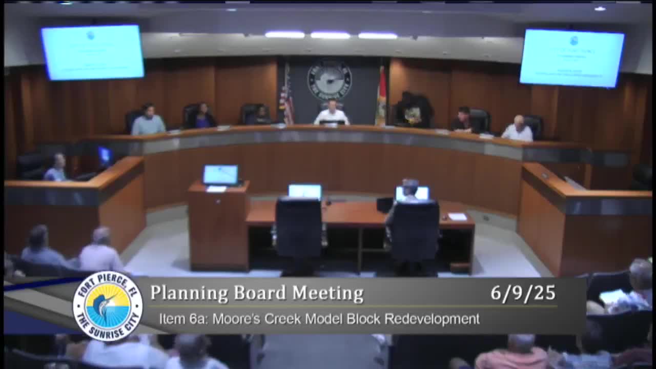
The Fort Pierce Planning Board voted unanimously June 9 to recommend a small‑scale future land‑use map amendment and a zoning reclassification for four parcels on Avenue D between Seventh and Eighth streets.
Planning Director Kev Freeman told the board the parcels—currently owned by St. Lucie County and designated residential medium with R4 zoning—are part of a multi‑party effort by the City of Fort Pierce, the Fort Pierce Redevelopment Agency and St. Lucie County to align zoning and enable development under Florida’s Live Local Act. ‘‘The purpose of the zoning land‑use map amendment and zoning reclassification is to enable the properties to be classed as commercial, so they could use the Live Local Act in developing these properties,’’ Freeman said.
The change would make the four parcels consistent with neighboring commercial designations along the block, Freeman said. He said the city, county and redevelopment agency—joint landowners—retain ultimate veto authority over any developer’s proposals. ‘‘Even though they’re allowed to use the parameters of the Live Local, the city and the county and the redevelopment agency have overall control over what gets built there,’’ Freeman said.
Board members asked whether the Live Local allowances could be used to exceed local standards. Freeman responded that because the tri‑party group controls the parcels, a private developer could not unilaterally ‘‘max out’’ density or height beyond what the landowners approve. No public comments were offered during the Planning Board hearing.
The board made two separate motions, as required: one to recommend approval of the future land‑use map amendment and a second to recommend approval of the zoning atlas map amendment. Both motions passed on recorded roll calls with unanimous yes votes.
The parcel owners and a prospective developer have indicated a mixed‑use proposal—small commercial space, veterans housing and apartments—has been discussed but no final site plan was before the board. Freeman said any specific site plan tied to Live Local incentives will return to the board for review and comment.
The board’s recommendations will be forwarded to the City Commission; because the city, redevelopment agency and county are property owners, final approvals on any development proposal will be decided by those landowners and by future permitting procedures.