Get Full Government Meeting Transcripts, Videos, & Alerts Forever!
Get email alerts on the Votes topic
No spam. Unsubscribe anytime.
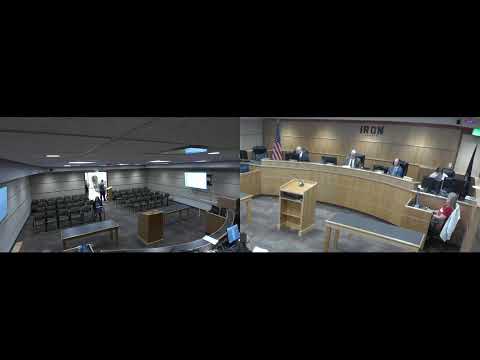
Commission approves zoning, general plan amendments and interlocal agreements; several votes follow public hearings
Summary
The Iron County Commission approved a package of land‑use and administrative measures after public hearings, including a clarification of R‑4K separation rules, a contested rezoning in Cedar City, general‑plan tier changes for Parowan and Paraguna, a large light‑industrial rezoning near SR‑56, and agreements on a road vacation and a justice‑court interlocal.
The Iron County Commission on a February morning approved a series of land‑use and administrative items after public hearings and debate, including changes to R‑4K separation rules, a 19.22‑acre rezoning to R‑4K near 4800–4950 North/2700 West in Cedar City, general‑plan tier adjustments around Parowan and Paraguna, several associated zone‑map amendments, a light‑industrial rezoning near State Route 56, vacation of a portion of City View Drive in Parowan and the county’s consent to a Parowan annexation. Commissioners also approved an interlocal agreement to have Iron County operate Parowan’s justice court caseload.
The most contested action was a requested rezoning of roughly 19.22 acres near 4800–4950 North and 2700 West from R‑1 (1‑acre) to R‑4K (4,000‑square‑foot minimum). Dozens of residents attended two hearings and submitted a petition the county clerk said initially contained about 270 signatures opposing higher density there; public comment raised concerns about traffic, water supply, and property‑value impacts. The commission ultimately approved the rezoning, with the recorded vote showing two commissioners in favor and one commissioner opposed. Commissioners noted the developer presented a revised plan that would use single‑family lots rather than townhomes; the commission’s approval was explicitly tied to that intent though the county said it cannot legally bind a future developer by a contract‑style condition at the rezoning stage.
Other land‑use votes included: passage of an ordinance amending section 17.36.032 of the county code to change how separation distances are measured between R‑4K projects (the amendment clarifies 1,000‑foot separation applies to townhouse projects while single‑family R‑4K lots may be separated by 500 feet or by a major public right of way of 75 feet or wider); adoption of general‑plan tier changes that shrink the Tier‑2 expansion area in the Parowan study area and adjust Tier‑2/Tier‑4 boundaries for Paraguna; and approval of zone‑map changes that implement the tiering revision (several parcels rezoned to RA‑20 and R‑5 as mapped). The commission also rezoned a 269.28‑acre tract from A‑20 (20‑acre agricultural) to Light Industrial (LI) near SR‑56 following staff and planning commission recommendation.
Administrative items approved included an ordinance vacating the county’s recorded interest in a portion of City View Drive (two parcels in Parowan) and formal consent to an annexation proposed by Parowan City that would create a small unincorporated “island” between city parcels; staff told the commission that the annexation fits long‑running annexation policy discussions and that affected properties were expected to be served by municipal services if developed. The commission also approved an interlocal agreement that would transfer Parowan City’s active justice‑court caseload to Iron County’s justice court (the city council will also consider the agreement). Commissioners said the move will not dissolve Parowan’s justice court: the city’s court would continue to exist and could be reactivated, and current judges’ appointments/terms are a separate matter.
Votes at a glance (as recorded in the meeting): - Ordinance 2025‑2 (amend 17.36.032 separation rules for R‑4K): motion approved (recorded voice vote: ayes; motion carries). - Zone change: R‑1 (1‑acre) → R‑4K (≈19.22 acres) near 4800–4950 North, 2700 West: approved; recorded vote: 2 yes, 1 no. - General‑plan tier amendments (Parowan/Paraguna Tier‑2 / Tier‑4 adjustments): approved (voice vote: ayes; motion carries). - Associated zone‑map changes (Parowan/Paraguna: A‑20/R‑1/R‑1‑½ → R‑5/RA‑20 where mapped): approved. - Zone change A‑20 → LI (≈269.28 acres near SR‑56/6100–6900 West): approved. - Ordinance 2025‑3 (vacate county interest in a portion of City View Drive, Parowan): approved. - Consent to annexation requested by Parowan City (property described on agenda): approved. - Interlocal agreement: Parowan City → Iron County Justice Court (county will administer city’s justice‑court caseload under agreement): approved (item also requires Parowan City and Administrative Office of the Courts review).
Commissioners and staff said the commission relied on planning‑staff analysis, Utah Geological Survey septic‑density work and municipal annexation policy when weighing the general‑plan and zone‑map actions. Planning staff and multiple speakers urged that higher densities be tied to areas that have or will have centralized sewer and water infrastructure; the commission’s adopted tiering and zoning changes are intended to channel higher density closer to municipalities while protecting more remote groundwater recharge areas.