Get Full Government Meeting Transcripts, Videos, & Alerts Forever!
Get email alerts on the Transit Light Rail topic
No spam. Unsubscribe anytime.
Austin Transit Partnership presents draft environmental impact statement for Phase 1 light rail, asks for public comment
Summary
Austin Transit Partnership representatives told the Urban Transportation Commission Feb. 4 that the draft environmental impact statement for Phase 1 of Austin Light Rail is published and open for public comment through March 11, and they outlined station siting, a new Lady Bird Lake bridge and design options in downtown and along Riverside.
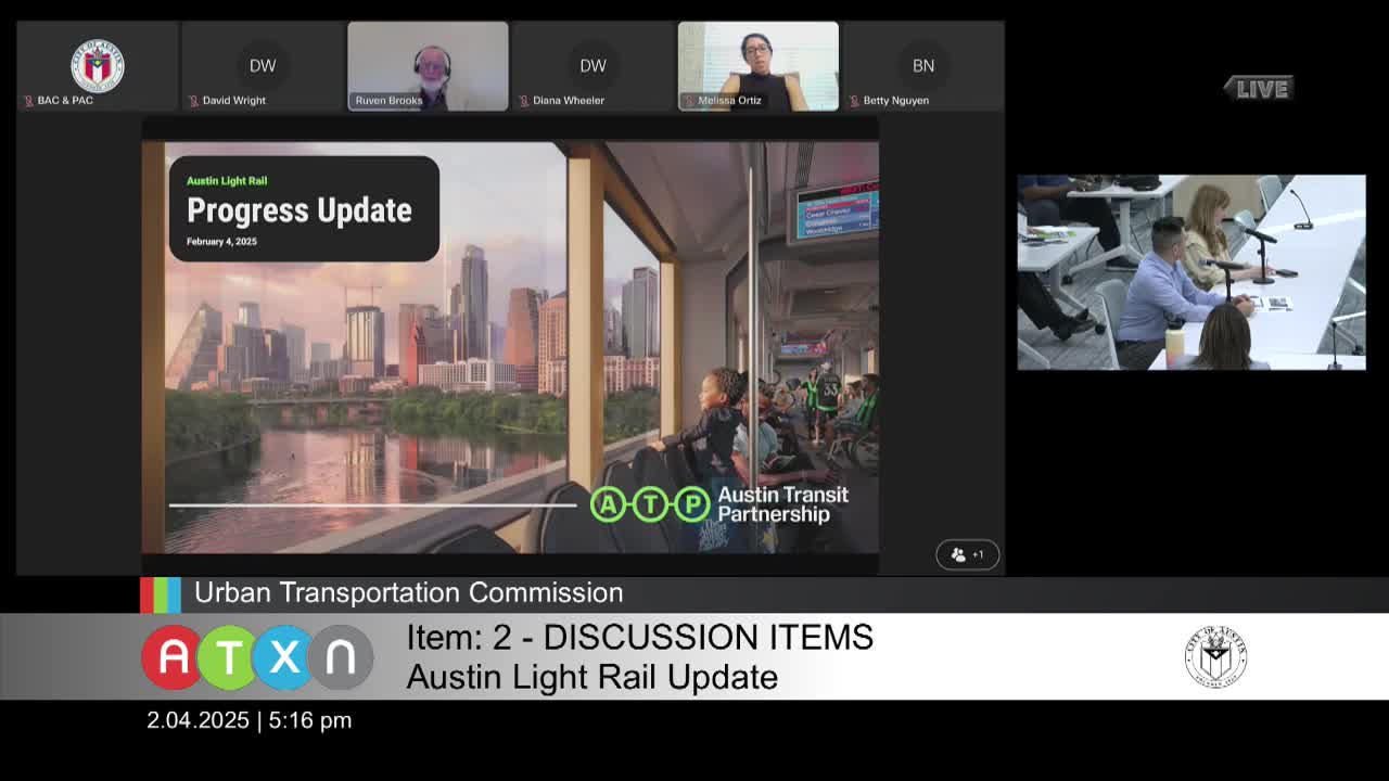
Austin Transit Partnership representatives on Feb. 4 told the Urban Transportation Commission that the draft environmental impact statement for Phase 1 of the Austin Light Rail project is published and the agency is seeking public comment through March 11.
The DEIS describes a roughly 10‑mile alignment with about 15 stations and recommends a range of design options for downtown station locations, a new light‑rail bridge over Lady Bird Lake and an elevated approach south of the river. Lindsay Wood of Austin Transit Partnership said the document is a federal‑process draft and the project team expects to publish responses to comments in a final EIS later this year.
Why it matters: The DEIS is a major federal milestone that documents environmental effects and proposed mitigations and is required for Federal Transit Administration (FTA) funding. ATP told the commission it expects engineering to start next year and construction in 2027, with an opening forecast around 2033. The committee heard that the final EIS timeline depends on the nature of public comments.
ATP’s presentation and design highlights
Darren Lozano of Austin Transit Partnership said the Phase 1 alignment was adopted in June 2023 by ATP’s board, the CapMetro board and the City of Austin. ATP described Phase 1 as an urban, frequent‑stop light rail system distinct from regional commuter rail, with the system intended to operate largely in its own guideway along city streets.
ATP described several design recommendations that are in the DEIS and on which it is seeking public input: - an added downtown station near Wilshire Square to close a gap on Guadalupe Street; - keeping the alignment along the right of way near the Austin Convention Center rather than moving into adjacent property; - constructing a new light‑rail bridge across Lady Bird Lake just south of Trinity Street and keeping the structure elevated for a longer distance on the south side of the river; - a “greenway” design on Riverside that would place shaded, center running bicycle and pedestrian facilities next to the guideway where right‑of‑way is wider; and - retaining an additional station in the Montopolis area after community requests, while recommending deletion of a Travis Heights station because of technical constraints and nearby projects.
Wood said the DEIS contains design options and mitigation measures the public can comment on; ATP will document every comment and respond in the final EIS. ATP noted it published renderings to help the public visualize stations, pedestrian connections and multimodal transfers.
Funding, extensions and federal process
ATP staff reminded the commission that roughly half the project’s funding is expected to come from the FTA and that the Federal Transit Administration’s environmental clearance and the later full funding grant agreement (FFGA) are lengthy steps. ATP said that while priority extensions to Crestview and the airport are not part of the Phase 1 DEIS, the agency is “provisioning” the design so extensions could be advanced later; ATP also said any extension would require a separate environmental clearance in coordination with the FTA.
Questions from commissioners and community concerns
Commissioners asked about sequencing for protected bike lanes downtown, how long‑term platform extensions would be accommodated, and how park‑and‑ride demand was modeled. ATP said the EIS documents potential mitigations including moving a key east‑west bike connection from Third Street to Fourth Street and that the document includes provisions for future longer platforms (for three‑car consists) though those would not be needed for opening day.
On park‑and‑ride facilities ATP said long‑range modeling shows a potential demand of about 300 spaces at a northern interim terminal (measured 20 years after opening), about 150 spaces for an east‑side interim terminus, and about 100 spaces for an Alturf location; ATP said the 300‑space figure is not an opening‑day requirement but a long‑term projection and that several park‑and‑ride solutions — structured garages, surface lots or joint uses — are being considered with community input.
Commissioners also raised questions about South Congress cross sections, street parking, and left‑turn movements; ATP said those roadway design choices are the subject of ongoing community conversations and that the draft EIS shows options and “flex zones” for limited on‑street parking in places. Commissioners requested more renderings and follow‑up on how transit and parking changes might affect local business districts.
How to comment and next steps
ATP said the DEIS was released to the public on Jan. 10 and the formal comment period closes March 11. ATP emphasized that every comment will be recorded and responded to in the final EIS. The presentation included a QR code and a project webpage and an ATP phone and email contact for questions.
ATP said it will continue to refine design, advance engineering and document mitigation measures as the project moves toward federal environmental clearance and the later FFGA process.