Get Full Government Meeting Transcripts, Videos, & Alerts Forever!
Get email alerts on the Trails And Emergency Access topic
No spam. Unsubscribe anytime.
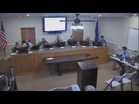
Council directs staff to open talks with developer, landowners on gated trail and water-tank access
Summary
Toquerville City Council discussed reopening two gated access points on Grand Canyon Parkway that provide entry to Nephi’s Twist and other BLM trails, weighing public-recreation value, public-safety obligations and private-property rights. Council asked staff to start talks with the current developer and Interstate Rock and report back.
Toquerville City Council on the topic of two gated access points at the north and south ends of Grand Canyon Parkway focused on balancing public recreation access to an informal trail network known locally as Nephi’s Twist with private-property rights and public-safety obligations.
The council heard staff and legal briefings describing a complex ownership and legal background: a recorded, amended development agreement from 2013 that references trail amenities; a chain and gate on private property that block informal access to BLM-administered land; and a city-owned roadway and water-tank easement that together create overlapping access questions. Ben Billingsley, the city manager, told the council the issue ‘‘is operating in the gray zone’’ and that the Bureau of Land Management could close unrecognized trails through its travel-management plan unless local access is secured.
Why it matters: Nephi’s Twist is a longstanding local trail used by hikers, cyclists and historically by equestrians; speakers said it is regionally distinctive and brings recreational visitors. Staff warned the council that if legal public access is not established now, the BLM’s formal travel-management process could later treat the informal routes as closed, effectively removing the recreational resource.
Discussion and legal background: Assistant City Manager Darren Lefebvre explained that the two access features are different: the north gate sits on private developer-owned land and the chain near the city water tank restricts access to the same general area but sits adjacent to a city-dedicated roadway. City Attorney Heath (last name not specified in the transcript) reviewed the recorded development agreement and said the original developer promised trail-related improvements and language in the amended agreement references minor enhancements to Nephi’s Twist where it passes through future phases.
Heath told the council his reading of the contract language is that the developer ‘‘agreed that he provide in some limited improvements and allow access along the trails,’’ and that the recorded instruments and mapping could support a claim of public access, though he warned any enforcement could prompt litigation. He recommended pursuing negotiated solutions before litigation.
Public-safety and operations concerns were a recurring theme. Merlyn (identified as a Hurricane Valley Fire District representative) and other fire officials noted the gates could impede turnout or require awkward backing maneuvers for emergency vehicles where roads end in dead-ends. L. (Karianne) Lisonbee, who spoke during the discussion, and others pointed to past fire-code advice; one speaker said the north gate was previously identified as problematic by the fire district in 2020.
Staff options and likely costs: Staff described a range of next steps and likely fees. Possible actions include negotiating a public easement or prescriptive-rights agreement with the current developer, purchasing a public easement, working with the phase-1 HOA where the water tank sits, or seeking a cooperative solution with Interstate Rock (operator/landowner near the south gate). Staff warned that formalizing access would likely require staff time and money (e.g., land acquisition, physical trailhead improvements, signage, fencing to prevent off-trail impacts) and that cooperative agreements with private landowners would probably be necessary.
BLM and trail-recognition risk: Ben Billingsley said the BLM currently ‘‘says, yes, you can use this trail, but it’s simply not recognized’’ and that the BLM’s travel-management planning process could close or redesignate informal routes if legal access is not demonstrated. Staff advised that the city’s prompt action would increase the chance the BLM recognizes the routes in future travel-management work.
Council direction: Council members asked for a practical path forward rather than immediate enforcement actions. After discussion, the council directed staff to open communications with the current developer and with Interstate Rock to explore negotiated solutions, evaluate options to secure public access (including potential land acquisition or public-easement agreements), and to return with a staff report and options. Mayor and council did not direct staff to remove gates or unilaterally change access that sits on private land during the meeting.
Community comments and volunteers: During public comment, residents raised related concerns about water easements, emergency planning and dense development near wind-prone hills. Dean Haymore offered a potential easement across his property to help a water pipeline; Cathy Bentz urged the council to consider emergency water and density when deliberating land-use and access decisions. A resident volunteer offered to assist with emergency planning.
What comes next: Staff will report back after initial outreach to the developer and Interstate Rock; any proposal that requires land purchase or easement acquisition will return to the council for authorization. The council was explicit that if the issue advances to physical opening of a trailhead, the city would need to plan for parking, trash control and signage to limit illegal camping and motorized use where appropriate.
Ending note: The city manager emphasized that the BLM and recorded development documents both influence the outcome and that a negotiated, documented solution is the council’s preferred route to preserve the trail while addressing safety and private-property concerns.