Madison County approves tweaks to Woodgate plan; developer says 379 lots will fit within revised layout
Get AI-powered insights, summaries, and transcripts
Subscribe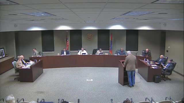
Summary
The board approved revisions to the Woodgate Subdivision preliminary plat. The developer said the overall project covers roughly 255 acres with 379 lots proposed in the revised layout; supervisors pressed the developer on density, ingress/egress and coordination for planned turn lanes on Yandell Road.
Madison County supervisors on Jan. 6 approved revisions to the Woodgate Subdivision preliminary plat after the developer outlined adjustments to internal road connections and lot layouts. The developer told the board the revised plan covers 255 total acres and shows 379 lots in the mapped phases.
The board’s discussion focused on density and traffic. Supervisor Baxter and others asked whether the number of lots was appropriate for the acreage and asked for clearer maps so the public can see phases and house-size distribution. Tim, the county engineer, and the developer described changes that reduce dead-end cul-de-sacs and reroute five driveways away from the future five-lane Yandell Road to improve safety and circulation.
Why this matters: The revised plat affects the Yandell Road corridor, a stretch of county road that is planned to be widened; the number and layout of lots influence future traffic, right-of-way needs and county costs for turn lanes or signals.
Developer presentation and board reaction
Nick Galette, representing the developer, told the board the overall tract is "255 total acres" and that the revised preliminary plat under discussion reflects 379 lots. He said phase 1 is under construction and that the changes presented were limited to two extensions of cul-de-sacs and moving five lots off Yandell Road into the internal loop to avoid direct driveways onto the new five-lane road.
Board members asked for clearer, color-coded maps that distinguish proposed square-footage bands and show which areas are in phase 1 and which will be built later. Supervisors pressed the developer to continue working with county engineering on right-of-way, turn-lane design and any required signalization; the developer and county staff said negotiations and detailed design were ongoing and that the developer has some buy-in on potential turn-lane work.
Traffic, density and lot size
Supervisors noted the lot-density math: when the acreage actually intended for development is divided into 379 lots, some lots will be roughly in the half-acre to quarter-acre range depending on the phase. The developer and county staff emphasized that all lots meet the applicable zoning standards and that the map reflects a mix of home sizes (1,500–2,000+ square feet) across phases. Tim, the county engineer, said the plats presented include design revisions intended to improve internal circulation and to reduce the number of driveways entering Yandell Road.
Next steps
The board approved the revisions as presented and asked the developer to provide improved visual maps for staff and the public. County engineering will continue work on turn-lane and right-of-way agreements with the developer; the board requested follow-up at the February meeting and additional handouts so citizens can review phase maps and proposed amenities.
Ending: The developer will supply clearer plans to county staff and supervisors; engineering and developer coordination on turn lanes and access will continue before further plat or final-approval steps.