Get Full Government Meeting Transcripts, Videos, & Alerts Forever!
Staff seeks small corrections to Imagine Irving future land-use map to fix mapping errors and preserve school and housing sites
Summary
Planning staff presented a package of modest future land-use map corrections to the Imagine Irving plan: reclassifying certain school parcels as public/semi-public, preserving mid-density residential sites (Zander Park Apartments), adjusting compact-neighborhood and multifamily classifications in several neighborhoods, and reclassifying a Salvation
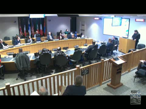
At the Jan. 6 Planning and Zoning work session, Troy Winn, senior planner in the Planning and Building Department, presented a group of proposed corrections to the Imagine Irving future land-use map adopted in 2017. Staff characterized most of the changes as corrections or clarifications rather than substantive policy shifts.
Key corrections staff proposed include: recognizing Gilbert and Good elementary schools and Kinkade early-childhood school as public/semi-public school sites on the future land-use map…
Already have an account? Log in
Subscribe to keep reading
Unlock the rest of this article — and every article on Citizen Portal.
- Unlimited articles
- AI-powered breakdowns of topics, speakers, decisions, and budgets
- Instant alerts when your location has a new meeting
- Follow topics and more locations
- 1,000 AI Insights / month, plus AI Chat