Get Full Government Meeting Transcripts, Videos, & Alerts Forever!
Get email alerts on the Annexation Policy topic
No spam. Unsubscribe anytime.
Planning commission advances Ivins annexation policy plan draft after public comment, asks map refinements
Summary
The commission held a public hearing on proposed amendments to Ivins' annexation policy plan, heard comments from Santa Clara City and land‑use stakeholders and agreed to continue the item to allow statutory notice and to refine overlap lines with Santa Clara.
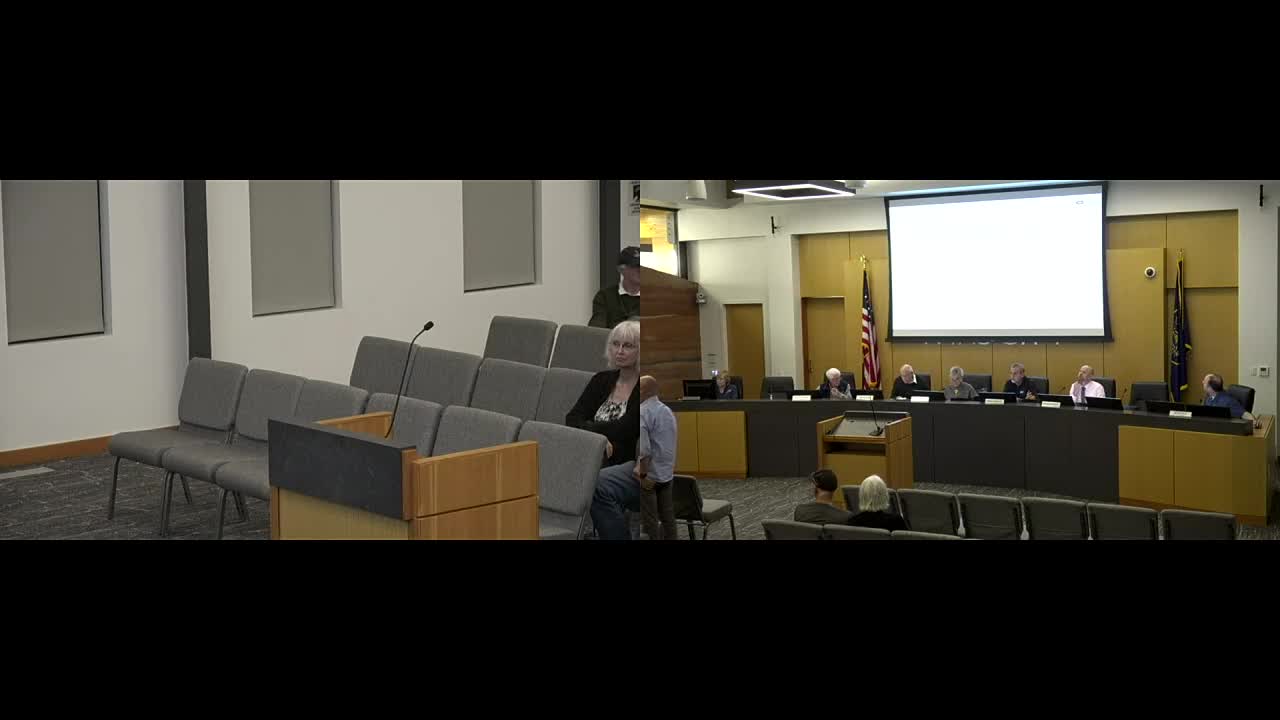
The Ivins Planning Commission continued work on a proposed amendment to the city’s annexation policy plan after public testimony and a discussion of map boundaries and affected entities.
At the Feb. 4 public hearing staff described the draft as updating the 2005 plan to comply with state law, align with the current Ivins General Plan, expand annexation-area mapping from four to six areas, and add a citywide buffer to signal that properties are only potential annexation candidates rather than guaranteed transfers. The staff report noted the plan also updates population projections and clarifies that inclusion on the expansion-area map does not guarantee approval of any annexation petition.
Public commenters raised questions about specific language and boundaries. Richard Bryant asked that wording such as “partially preserve” (in Chapter 3 language on hillside protection) be clarified because the term is not defined in the plan. Robert Rausch urged clearer consideration of lands subject to federal and state protections and suggested the plan list or contact entities such as the Bureau of Land Management and conservation bodies; staff and legal counsel noted that state code prescribes which “affected entities” must be noticed and that BLM and other federal agencies are not required by state statute to be listed as affected entities for this stage of the process.
Jim McNulty, representing Santa Clara City, told commissioners that portions of Area 3 overlap Santa Clara’s jurisdiction and that Santa Clara has existing plats and a development agreement affecting parts of Black Desert; he asked that Ivins’ map and plan wording reflect that overlap. Santa Clara staff and the Ivins commission discussed the specific overlap near Graveyard Wash, the planned roundabout and Hamblin extension, and the commission asked staff to present revised mapping showing a cleaner boundary that better aligns with Santa Clara’s lines.
Commissioners also asked legal counsel and staff to clarify process and notice requirements: staff said today’s hearing begins a statutorily required comment period, after which there will be a 14-day-notice hearing for affected entities. The commission and staff clarified that state law defines affected entities to include the county, special service districts, school districts and municipalities whose boundaries are within one-half mile of the area proposed for annexation. Several commissioners expressed a preference to keep the plan as inclusive as permitted by state code and to revisit map lines so Ivins does not inadvertently exclude areas it may wish to consider in the future.
After discussion the commission voted to move the draft forward through the statutory notice and comment process rather than adopt it tonight; commissioners also asked staff to prepare a revised map that would consolidate or redraw Area 5 so it aligns more cleanly with Area 2 and the Santa Clara boundary where the commission indicated consensus to do so. The item will return to the commission after the 10-day public comment window and subsequent notices are completed and any affected-entity comments are received.
Key details from the staff presentation: the current Ivins annexation policy plan was adopted by ordinance on Jan. 20, 2005; the draft replaces four annexation areas with six and adds a policy buffer around the municipal boundary; the draft includes language on natural-desert and sensitive lands and describes that additional requirements could be attached to any future annexation petition.
Next steps: staff will accept written comment during the statutory 10-day period, then schedule the next Planning Commission hearing with notice to affected entities (per state statute); the commission also requested a revised map showing the proposed boundary change between Areas 2 and 5 to reflect a possible alignment with Santa Clara’s boundary.