Get Full Government Meeting Transcripts, Videos, & Alerts Forever!
Get email alerts on the Floodplain Mapping topic
No spam. Unsubscribe anytime.
Missoula County demonstrates interactive floodplain map viewer with preliminary FEMA layers
Summary
Missoula County Floodplain Administrator Matt Heimel demonstrated an online Floodplain Map Viewer that overlays preliminary FEMA flood mapping for the Clark Fork, Bitterroot and Rock Creek watersheds onto the county GIS, and detailed how property owners, realtors and engineers can use the tool and contact county staff for help.
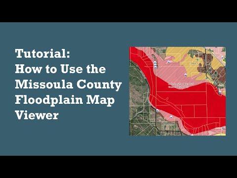
In a recorded presentation, Missoula County Floodplain Administrator Matt Heimel demonstrated the county's Floodplain Map Viewer, an online tool that integrates Federal Emergency Management Agency (FEMA) preliminary floodplain data with Missoula County GIS layers to show how mapped flood hazards intersect specific parcels.
“This is our local online tool for viewing flood hazard information, and this mapping tool is integrated into our entire county GIS system, which allows it to connect not only with floodplain data, but also parcel information, zoning, permits, and other layers,” Matt Heimel said.
The tool is available from the Missoula County Floodplain Administration website and from Missoula County Voice, the county’s public engagement page for the floodplain mapping update. On opening the viewer, users first see a disclaimer explaining that some areas include preliminary FEMA data; Heimel said the preliminary layer covers updated mapping for the Clark Fork River, Bitterroot River and Rock Creek.
Heimel showed that the viewer has both the effective (currently in-force) floodplain layers and a preliminary overlay intended to highlight areas affected by the new FEMA mapping. The overlay is displayed with red hatching; turning that overlay off reveals the specific preliminary zones. Heimel also demonstrated tools for locating parcels by address or parcel number, which outline property boundaries and link to the county property and information system for zoning and permit details.
The viewer also includes technical layers such as approximate base flood elevations, study cross sections referenced in the Flood Insurance Study, and symbols marking letters of map change and elevation certificates. Heimel noted the viewer displays FEMA flood insurance rate map (FIRM) panel numbers (for example, panel “1465E”) to help users locate relevant panels in the Flood Insurance Study.
Heimel emphasized that the map is meant as a reference and that staff can assist users who need help interpreting study cross sections, base flood elevations, or how flood zones may apply to specific properties. He pointed users to floodsmart.gov for information about the National Flood Insurance Program and said the maps also inform where federally backed flood insurance is available.
The presentation included contact information for Floodplain Administration: phone (406) 258-4657, email floodplain@missoulacounty.us, and the office location at 127 East Main Street, Second Floor, Missoula. Heimel closed by encouraging homeowners, realtors, insurance agents and engineers to use the viewer and to contact staff with questions.
“The maps will help you understand the flood risk, and we're here to help you understand what to do with that information,” Heimel said.