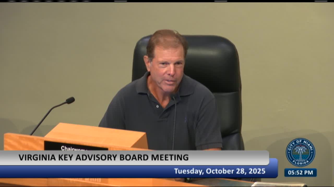
Consultants show conceptual plan to convert Virginia Key landfill into park with condensed sports fields and expanded hammock habitat
Get AI-powered insights, summaries, and transcripts
Subscribe
Summary
Consultants for the City of Miami presented a conceptual plan to repurpose the 116-acre closed landfill parcel on Virginia Key into a public park that preserves and expands native hammock habitat while concentrating athletic fields and parking closer to Arthur Lamb Jr. Road.
Consultants for the City of Miami presented a conceptual plan to repurpose the 116-acre closed landfill parcel on Virginia Key into a public park that preserves and expands native hammock habitat while concentrating athletic fields and parking closer to Arthur Lamb Jr. Road.
The plan was presented by Barry Miller, landscape architect with Savino Miller Design Studio, and engineers from SCS/SES during the Virginia Key Advisory Board meeting. Hector Badia, assistant director of the Office of Capital Improvements, introduced the item and said city staff brought consultants to present conceptual options to the board.
The consultants said the landfill parcel, which opened in the early 1960s and closed in 1977, now contains large deposits of clean fill that create elevated viewpoints across Biscayne Bay and the Atlantic Ocean. "It's just an extremely, fortuitously located place, sandwiched between Biscayne Bay and the Atlantic Ocean," Miller said, describing the site's potential for lookouts and vistas.
Why it matters: the parcel sits adjacent to existing recreation assets (Virginia Key Beach, North Pointe bicycle fields and a kayak station) and to the Central District wastewater treatment plant. The consultants and board members stressed that design choices about access, grading, and storm and tidal flows will affect habitat restoration, public safety and odors from the treatment plant, and the feasibility of level athletic fields on the capped landfill.
Key elements of the concept
- Layout change: The consultants proposed shifting the recreational fields and parking south, near Arthur Lamb Jr. Road, to reduce vehicular intrusion along the eastern beach and kayak areas. Sports fields shown in the 2010 master plan were condensed and moved closer to access points to improve usability.
- Habitat emphasis: The new conceptual layout increases preserved hammock and mangrove areas compared with the 2010 master plan. The presentation showed the new plan allocating a much larger share of the parcel to passive habitat and lookouts while reducing the relative area assigned to sports fields (a reduction the consultants estimated in the presentation at roughly 7 acres compared with the earlier plan).
- Grading and capping: Consultants noted the site contains thick layers of clean fill — in places up to about 30 feet above original grade — placed after the original lagoon and mangrove areas were filled. The county's 2021 landfill-closure grading plan by Kimley‑Horn and URS was shown as the currently approved engineering approach; the consultant team overlaid that closure topography with the 2010 park program to test whether level fields can be accommodated without disturbing capped material.
Discussion and technical concerns
Board member Gary Milano pressed for a biological assessment of the southwest mangrove area, noting visible die-off and possible loss of tidal flushing. Milano said culverts that historically flushed the mangrove parcel “could be plugged” and that "mangroves like about 1 foot above sea level. Maybe we've got 3 feet above sea level. Therefore, mangroves aren't going to grow there unless we scrape that down." He asked that the plan include study and corrective measures to restore tidal flow and elevation conditions where feasible.
An engineer from SES (identified in the meeting as Sam) said the approved minimum safe-closure design includes a perimeter berm intended to stabilize that corner and that some of the concerns about sheet-flow or tidal changes could be addressed through design: "the design the current design for the minimum safe closure that's been approved by Derm, that includes a berm that goes around that corner," he said, adding that the berm would help protect the mangrove area from further sloughing.
On capping depth and soil for planting, consultants and board members discussed soil amendment and regrading. Miller said past projects have blended existing clean fill with amendments and that earlier city projects allowed a 1-foot cap under regulatory authorization (noting, in reference to another city project, that the city had obtained approval to use a 1‑foot cap with demarcation). The team recommended testing existing cap soils for suitability and planning soil amendments to support hammock species.
Costs, timeline and phasing
Miller cautioned that a full park buildout would be costly and multi‑year; he cited a recent example, Bayshore Park, as a roughly 20‑acre project with construction cost in the tens of millions. He estimated that per‑acre costs for this site would be substantial — figures discussed during the meeting ranged from several hundred thousand to about $1 million per acre depending on infrastructure and amenities — but said many planting and habitat-restoration elements could be advanced with external grants and volunteers, reducing net city construction costs.
Board process and next steps
City staff and consultants said the presentation is at a conceptual stage. Hector Badia said the plan and the consultants' materials are public records and can be distributed to board members; Rafaela, the board liaison, was asked to circulate the presentation. Staff said a biological assessment, testing of cap materials, and coordination with regulatory agencies (including the county closure design) will be needed before detailed engineering or permits proceed. The team and board discussed phasing opportunities that could allow early planting and habitat work before major field or utility construction.
No vote or formal action was taken by the advisory board at the meeting; the consultants asked for the board's input and said they would return with additional technical detail and revised layouts as the design evolves.
Ending
Board members welcomed further detail on species lists, soil amendment specifications and an environmental assessment of the mangrove area. Several members urged swift pursuit of grant funding to begin planting phases while larger design and permitting proceed.
