Get Full Government Meeting Transcripts, Videos, & Alerts Forever!
Get email alerts on the Land Use Wireless topic
No spam. Unsubscribe anytime.
Board upholds planning commission denial of 110‑foot cell tower in Orangevale after residents cite aesthetics, noise and alternatives
Summary
The Board of Supervisors voted unanimously Feb. 4 to uphold the Planning Commission’s denial of a proposed 110‑foot wireless facility at 7908 Hazel Avenue in Orangevale. The appeal included competing technical coverage claims and concerns about co‑location on a nearby existing tower; the board concluded the Planning Commission’s findings stood.
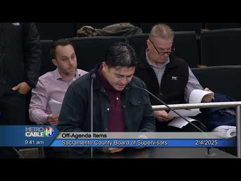
The Sacramento County Board of Supervisors on Feb. 4 unanimously upheld the Planning Commission’s denial of a use permit, special development permit and design review for a proposed AT&T wireless communications tower at 7908 Hazel Avenue in the Orangevale community.
County planning staff had recommended the board overturn the Planning Commission and approve the project — conditioned on mitigation measures and design treatments — saying the proposed site would reduce an identified service‑coverage gap. The applicant and its consultant, Epic Wireless Group, argued the carrier had tried but could not secure co‑location on a nearby 106‑foot monopole (identified in the application as an American Tower site) and that the proposed location would better serve churches, schools, senior facilities and a neighborhood identified as Almond Acres.
Planning staff described the project as a 110‑foot faux‑broadleaf tree with 12 panel antennas, equipment cabinets, a backup generator and a secured 40‑by‑40 lease area in the rear yard of a single‑family parcel zoned AR‑2. The application requested deviations from the zoning code for maximum height (the Group 1 zone height limit is 55 feet) and minimum separation from Group 1 properties (separation is three times the tower height). Staff said the project, as conditioned, complied with the General Plan, community plan and countywide design guidelines and that a mitigated negative declaration had been prepared under CEQA.
The Planning Commission heard objections about the height, visual impacts and the completeness of the applicant’s alternative site analysis. The Orangevale Community Planning Advisory Council also recommended denial. Members of the public told the planning panel and the board they had measured shorter separations between the proposed lease area and nearby residences than the applicant’s analysis indicated, they expressed concern about the noise from a diesel backup generator at close range, and they raised questions about long‑term health effects from radiofrequency exposure.
At the board hearing, the applicant’s representative, Andrew Lisa of Epic Wireless Group, said Epic had repeatedly contacted the owner of the nearby American Tower site and that the property owner’s negotiations with American Tower did not produce a lease extension. Lisa said updated engineering analysis showed a more southerly placement of the proposed facility would serve roughly twice the population and several institutional sites that would not be covered from the alternative site.
County counsel reminded the board that the federal Telecommunications Act of 1996 constrains local land‑use denials where a carrier has made a valid showing that a denial would effectively prohibit service or that the locality failed to make written findings on feasible alternatives. Several supervisors — including Don Hume and Desmond — emphasized the county retains land‑use authority but must weigh federal limitations and the planning record. Supervisor Hume moved to uphold the Planning Commission’s denial; the motion was seconded and passed unanimously.
Residents urged the board to require the applicant to pursue co‑location more aggressively and to consider lower‑height and alternative designs rather than approving a 110‑foot structure in a largely residential, semi‑rural neighborhood. The board’s decision preserves the Planning Commission’s findings that visual and aesthetic impacts and an inadequate comparison of alternatives justified denial.
The applicant may pursue further remedies available under federal law or revise the project to address the Planning Commission’s and the board’s concerns (for example, reducing height, improving concealment, providing additional evidence that co‑location is infeasible, or identifying different placement).