Sunnyvale staff outlines tradeoffs between two SH 190 alignments; council asks for more information
Get AI-powered insights, summaries, and transcripts
Subscribe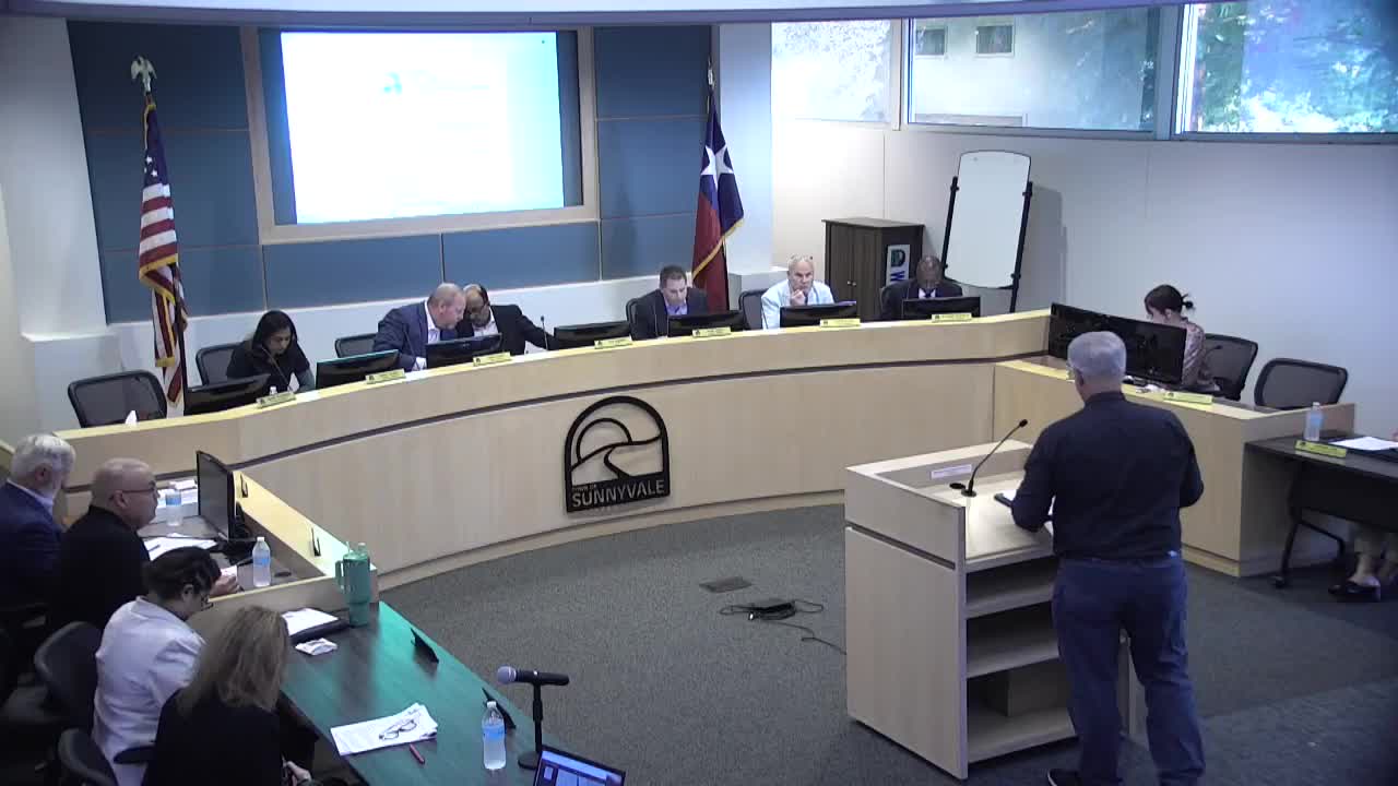
Summary
Town staff presented two alignment options for State Highway 190 through northeastern Sunnyvale, noting Alternative 1 would displace three homes while a newly proposed Alternative 3 would increase displacements to five; council asked staff to return with more detailed data before choosing a preferred alignment.
Town of Sunnyvale staff updated the council Monday on two proposed alignments for State Highway (SH) 190 through the town’s northeastern “lakefront” area and asked the council for guidance on which alignment to endorse.
Town staff member Lyle presented aerial maps and a summary of differences between the long-standing green route, labeled Alternative 1, and a more recently developed pink route called Alternative 3. “The current alignment alternate 1 displaces a total of 3 residents, 3 homes,” Lyle said. “If it was to be shifted to the pink alignment of the original 3, 2 of those would be removed and would no longer be subject to displacement. … it adds 4 more residents that were not formally displaced. So now you would have 5 total displacements.”
The presentation said Alternative 1 had been the generally accepted alignment for several years and that a 2012 council resolution specified a depressed main-lane section with at‑grade frontage roads to preserve access to East Fork Road and Towneys Boulevard. Alternative 3 was developed after the town asked the North Texas Tollway Authority (NTTA) and consultant Jacobs whether the corridor could be shifted west while keeping the depressed main lanes; NTTA and Jacobs provided a memo, but did not speak to the council directly.
Lyle said engineering and construction costs for the two options would be similar, and that Alternative 3 is “slightly better from an operational standpoint” because it produces a straighter freeway alignment. But he emphasized the displacement count as the key local difference.
Residents who spoke during the opened public-comment period urged the council to consider the long record of planning and the impacts on property owners. Brad Smith of EBRS Ranch told the council the alternate 3 alignment “does increase the probability of any extra land that could go into that quality” lakefront development, arguing that the extra developable acreage could help a future waterfront project. Richard Michke, a longtime resident, urged the council to value consistency with past public planning and the 2012 resolution, saying the earlier process gave homeowners time to plan and make choices.
Council members asked staff for more detailed, comparable data on all three mapped alternatives, particularly about how noise, setback distances and developable acreage would change. Councilmember Shanna Danny asked for a chart comparing displacement numbers, neighborhood impacts and any town costs. Lyle said there is no cost to the town for right‑of‑way acquisition or utility relocations; NTTA would pay those expenses because this is a new roadway.
The council did not direct a preference at the meeting. Staff requested formal direction so NTTA could adopt the town’s preferred alignment; council members said they want more information and public input before making that decision.
The council agreed to bring the item back as an action item at a future meeting so members can make a formal selection of a preferred alignment after receiving the additional details requested.