Get Full Government Meeting Transcripts, Videos, & Alerts Forever!
Get email alerts on the Subdivision Development topic
No spam. Unsubscribe anytime.
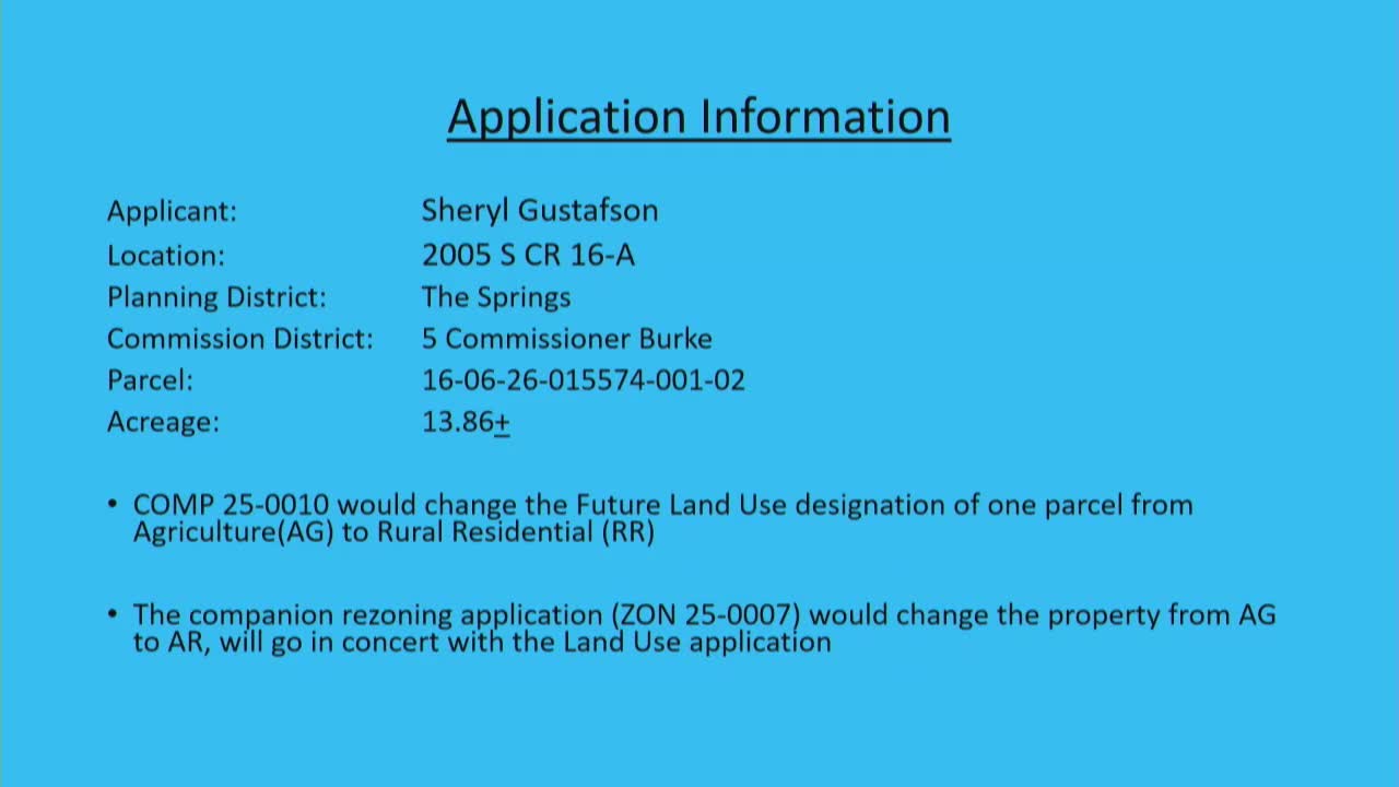
Planning commission backs comp‑plan change and rezoning for Gustafson parcel to allow up to 13 clustered homes
Summary
The Clay County Planning Commission voted to recommend a comprehensive‑plan amendment and companion rezoning to change a nearly 14‑acre Gustafson parcel from agricultural use to rural residential, enabling clustered development for up to 13 homes.
The Clay County Planning Commission voted to recommend approval of a comprehensive‑plan amendment and companion rezoning to change an almost 14‑acre Gustafson parcel from agricultural land use to rural residential zoning, enabling a potential clustered subdivision of up to 13 single‑family lots.
Planning staff said the parcel sits inside the urban service boundary, has nearby schools and emergency services within three miles, and that the Springs Citizens Advisory Committee reviewed the request and recommended approval 6‑0. Staff’s analysis applied the Florida statutory sprawl criteria (Section 163) and found at least the required number of criteria to conclude the amendment did not constitute sprawl; staff therefore recommended approval.
Applicant’s real‑estate agent, Danielle (last name given in packet), described marketing history and said the owner prefers one‑acre minimum lots (ag‑residential) and would likely sell lots to custom‑home buyers rather than build an attached product. The agent showed conceptual lot sketches illustrating options for roughly 10–13 lots and said the final design would be subject to subdivision review, drainage, septic/utility requirements and the Development Review Committee process.
Commission discussion clarified development controls: clustering to achieve one‑unit‑per‑acre density requires a minimum of 35% open space; clustered plan approval would impose a 50‑foot perimeter buffer that may count toward open space. Staff noted minimum lot sizes with clustering and points can be smaller (about 0.5 acre) but that subdivision infrastructure (roads, retention, drainage, buffers) must comply with county standards. Several nearby residents spoke in opposition, citing increased traffic, bridge/road wear on 16A, wildlife and loss of rural character.
The Planning Commission voted to approve the comprehensive‑plan amendment (one dissent recorded) and then approved the companion rezoning by voice vote. Both items will move forward for Board of County Commissioners consideration with staff findings and conditions identified through the review process.
Clarifying details - Parcel area: almost 14 acres (as presented by staff). - Proposed yield: staff estimated up to 13 lots at one unit per acre when clustering and points are applied; final lot sizes and layout are subject to subdivision review and infrastructure requirements. - Clustering requirement: a 35% open‑space minimum is required for clustered rural residential subdivisions and a 50‑foot perimeter buffer is typically applied.
Ending The commission’s approvals are advisory recommendations; the Board of County Commissioners will consider the companion items at a future date. If approved by the board, any future subdivision will go through detailed site and infrastructure review including retention/drainage, septic or sewer hookups, road improvements, and DRC review.