Skagit County favors road relocation and multi-span bridge in Mill Creek feasibility study
Get AI-powered insights, summaries, and transcripts
Subscribe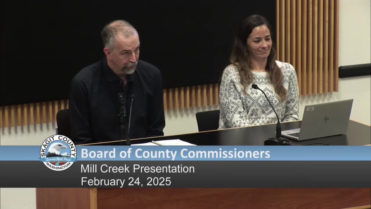
Summary
Skagit County staff presented a Mill Creek feasibility update on Feb. 24 and identified a preferred alternative to relocate South Skagit Highway at Mill Creek and construct a steel multi-span bridge to restore stream processes and reduce recurring maintenance.
Skagit County public-works and natural-resources staff on Monday presented a feasibility and design update for the Mill Creek area on South Skagit Highway and identified a preferred alternative that would relocate a section of roadway and replace culverts and bridges to restore natural water and sediment movement.
Acting County Engineer Tom Weller introduced the presentation and Emily Doreen of the county's Natural Resources Division led the briefing and described a preferred alignment (referred to in consultant work as Alternative 3) that moves the road to a terrace location on the floodplain and uses a steel multi-span bridge to reestablish stream processes. Doreen said the existing alignment interrupts Mill Creek and Savage Creek, causes repeated flooding and maintenance, and disconnects wetland and floodplain habitat important to threatened Chinook salmon.
"Mill Creek is a problem. It does flood," Doreen said, noting the creek flooded that weekend and that the current bridge and culvert configuration does not convey sediment or flows appropriately. She cited a 2012 assessment done after Seattle City Light purchased surrounding land that found the road disconnected about 21 acres of wetland and 62 acres of floodplain.
KPFF consultants provided six bridge alternatives. County staff said a steel-girder multi-span option is their preferred structure because it can be built on site with less fill and fewer access constraints than the largest pre-cast concrete girder option. The preferred scheme would remove or abandon portions of the existing road and construct new roadway and crossings on an alignment that impacts four property owners (including Seattle City Light as a major landowner and private timber companies) and one parcel that would lose vehicular access and require right-of-way negotiations.
Staff described the project as a multi-phase effort:
- Phase 1: feasibility update and preliminary design (presentation cited a phase-1 cost of roughly $556,000).
- Phase 2: design of the two crossings and the new roadway (staff estimated roughly $6 million for the next design phase).
- Construction/relocation: county estimates vary; presentation cited a broad construction estimate in the tens of millions (staff discussed $40–50 million in possible full relocation costs depending on options).
Doreen and the consultants noted permitting, geomorphic analysis and habitat assessment remain to be completed. The county will pursue multiple funding sources: the presentation named the Salmon Recovery Funding Board (SURFboard), a Brian Abbott (Fish) Barrier Removal program that funds culvert work on Savage Creek, and larger transformational habitat programs (referred to in the briefing as NOAH transformational habitat funding) that could cover larger construction costs.
Commissioners asked about design life and resilience. Staff said a well-designed structure and alignment could provide at least a 75-year design life when the road is relocated out of the alluvial-fan apex; geotechnical investigations and deeper foundation work would be completed in the next design phase to assure scour and foundation stability. Staff also said the selected alignment maintained a 45-mph design speed in the corridor and reduced private-property impacts compared with a higher-elevation alignment studied earlier.
County staff said outreach to property owners has been ongoing and that most property owners have already provided letters of support for grant applications. The next steps are to finish a draft design report, secure design funding and begin permit applications; staff said construction, if funded and permitted on schedule, could start within roughly four years.
The commissioners did not take formal action on the preferred alternative during the presentation; staff requested feedback and said they will return for future funding or design approvals as grants and designs advance.