Get Full Government Meeting Transcripts, Videos, & Alerts Forever!
Get email alerts on the Land Use topic
No spam. Unsubscribe anytime.
Plan Commission approves certified survey map to split property at 4200 County Highway P
Summary
The Village of Cross Plains Plan Commission on Oct. 6 approved a certified survey map to split a property at 4200 County Highway P into two lots; commissioners said no zoning change was requested and the division aligns with the village comprehensive plan map.
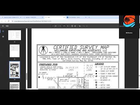
The Village of Cross Plains Plan Commission approved a certified survey map Oct. 6 to divide the property at 4200 County Highway P into two lots, creating a separate parcel for the existing residence.
Commissioners said the split does not include a request to change zoning. A presenter noted the parcel is shown in the village comprehensive plan map as a planned development area, but the current action before the commission was a land division only.
Staff described the proposed map as separating Lot 2 from Lot 1 so the current residence would sit on its own lot. Commissioners confirmed the zoning for the remaining residential parcel would remain R-8 and that no zoning request was included with this certified survey map application. There was no public comment on the item.
A motion to approve the certified survey map (CSM 13885) for the portion identified as Lot 2 carried unanimously. All members present voted in favor.