Developer presents revised Woodgate plan; supervisors approve preliminary tweaks amid traffic concerns
Get AI-powered insights, summaries, and transcripts
Subscribe
Summary
Developer showed updated preliminary layout for the Woodgate subdivision, described as 379 lots across the submitted phases; supervisors approved the revised layout while asking for clearer maps and engineering work on Yandell/Andale road access and turn‑lane/right‑of‑way coordination.
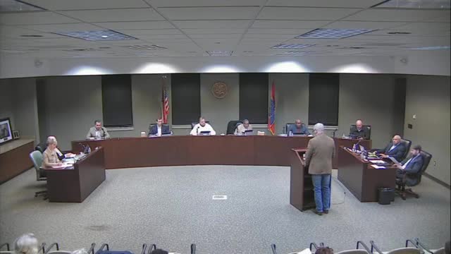
Developer representatives presented an updated preliminary plan for the Woodgate subdivision at the Madison County Board of Supervisors meeting on Jan. 6, describing the overall project and recent tweaks to internal roads.
Nick Galette, representing the developer, told the board the property totals about 255 acres, with roughly 90 acres not yet submitted for approval; he said the revised preliminary plat currently under consideration contains 379 lots concentrated on 165 acres of the submitted area. He said the developer had eliminated two dead‑end cul‑de‑sacs by extending internal roads and had adjusted five lots that otherwise would have faced the widened Yandell Road so those lots would enter from internal streets instead of driveways on the new five‑lane roadway.
“We have 255 total acres,” Galette said. “It's what, the preliminary plat, and this tweak is, 379.” He also described proposed home size ranges and amenity locations.
Supervisors pressed the developer on density and traffic. One supervisor noted that, on the acreage discussed, the lot yield equates to roughly 0.4 acres per lot and asked whether the subdivision met the county’s zoning minimums and whether the internal lot mix and frontage would be suitable when Yandell Road is widened. The developer said phase‑one construction is underway and that the changes under review do not alter the agreed lot counts for most phases; they are intended to improve ingress/egress and safety by reducing individual driveways onto the five‑lane portion of Yandell Road.
Board members asked for clearer, color‑coded maps and for the county engineer and developer to coordinate on right‑of‑way, turn‑lane and signal needs. The board approved the revised preliminary plan after discussion and requested the developer provide a clearer set of maps and engineering revisions for the county file.
Ending
Supervisors said they will expect an engineering report on right‑of‑way acquisition and any turn‑lane or signal work needed for safe access prior to later approvals. The board asked staff to post clearer project maps and timelines for public access when they receive them.
