Get Full Government Meeting Transcripts, Videos, & Alerts Forever!
Get email alerts on the Parks Recreation topic
No spam. Unsubscribe anytime.
Georgetown council weighs two Blue Hole Park master-plan concepts, favors Concept A with changes
Summary
City staff and HAP Associates presented two master-plan concepts for Blue Hole Park after an open house and an online survey of 745 participants; council and public commenters favored Concept A while asking designers to combine select elements of Concept B and to return with a blended proposal and cost estimates.
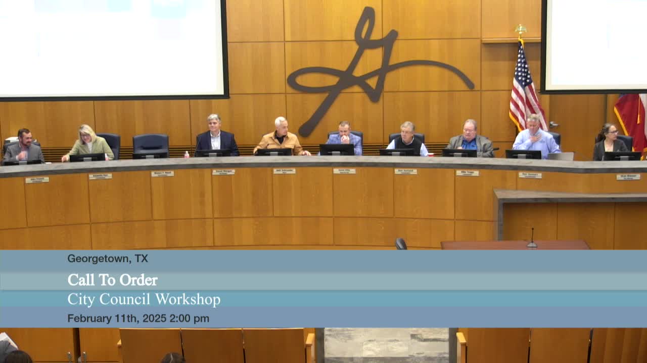
City of Georgetown Parks and Recreation staff and consultants presented two conceptual master plans for Blue Hole Park at a council workshop, saying the designs respond to community input collected in an open house and a 745‑person online survey.
Kimberly Garrett, Georgetown’s Parks and Recreation director, said the project team held an open house Dec. 11 at the San Gabriel Community Center and ran the survey for nearly a month. Aaron Cooper, project manager for HAP Associates, said the team is producing a master plan with illustrations, 3‑D renderings, cost estimates and phase recommendations to help the city implement improvements as funding becomes available.
The plans attempt to balance recreation and restoration on a park site with steep slopes and floodplain constraints. "Restoration and protection is number 1," Cooper told the council, summarizing survey results that ranked passive uses (birding, open space and pavilions) and environmental protection above adding new active features.
Concept A emphasizes a San Gabriel Trail connection down to the water with an accessible route around the cemetery, reinforced bank edges and terraced lawns near the river. It includes a relocated restroom near the end of South Rock Street, a large picnic area, a two‑way cycle track placed away from high‑pedestrian zones, and a large roundabout to allow vehicle turnaround and emergency access. Cooper said Concept A shows roughly 62 parking stalls along Rock Street compared with what he said is about 47 today in that area. The plan preserves exposed limestone and existing dams while proposing a low water dam "a couple feet at max" to create slightly deeper water and concentrate activity near the Rock Street entry.
Concept B places more parking along Scenic Drive (Cooper said that layout would show about 40 stalls on Scenic and 76 along Rock Street), rehabilitates the existing restroom rather than relocating it, and uses terracing and a nature‑play area to provide more lawn and formal picnic pavilions. Cooper said Concept B illustrated larger restroom capacity ("approximately 10 toilets") and more paved terraces, while noting the larger lawns in the concept were shown as elevated in the illustrations and would require engineering to confirm flood performance.
Councilmembers and two public commenters — Robert Cravens and Linda Thomas, both of whom said they live near Blue Hole — largely preferred Concept A while asking staff and consultants to bring back a blended plan. Councilman French said he favored Concept A for visibility, public‑safety access and for moving the restroom closer to Rock Street; he said he did not want the plan to create hidden niches that could invite long‑term camping or other problems. Multiple council members asked for the plan to avoid excessive spending on reworking circulation and parking at the expense of park amenities. Mayor Pro Tem Pitts and others said they wanted more of Concept B’s picnic pavilion and terracing ideas incorporated into Concept A rather than prioritizing additional pavement.
Designers and staff provided clarifying figures during the discussion: Cooper said current end‑of‑Rock‑Street parking counts at 47 stalls and that Concept A would show about 62 stalls along Rock Street; he later said Concept B’s Rock Street total would be about 76 and the reconfigured surface lot in that concept 52 stalls compared with an existing 30. Cooper also noted a nearby Williamson County parking garage has 384 spaces the public can use. The project team reported the survey hit rate was highest within a quarter mile of the park and that most respondents travel to Blue Hole by car for visits typically lasting one to four hours.
Council members and staff asked the consultant team to return with a consolidated concept that blends preferred elements from both alternatives, a clearer plan for restroom siting and capacity, a parking strategy that reduces neighborhood spillover, and costs and phasing for construction. Kimberly Garrett said staff plans public engagement — an open house, State of the City, and Red Poppy outreach — and expects to return in June with a single blended concept and in September with a full master plan including cost estimates.
Public comments during the meeting reiterated support for Concept A’s routing around the cemetery and for preserving existing trees and limestone features. Robert Cravens, who said he helps maintain the Presbyterian Cemetery, asked that the trail avoid driving through the cemetery; Linda Thomas said she favored development on both sides of the river and the restroom relocation shown in Concept A.
Design constraints mentioned in the presentation included steep slopes near the river, a 100‑ and 500‑year floodplain and a floodway, and the consultant noted that Williamson County is updating floodplain mapping — which the team said will likely increase the mapped 100‑year area.
Next steps: staff and HAP Associates will consolidate council feedback into a revised concept, conduct broader public outreach, and return with a refined plan and cost estimates per the timetable Garret outlined.