Get Full Government Meeting Transcripts, Videos, & Alerts Forever!
Santa Rosa staff brief board on FEMA flood map updates for Santa Rosa Creek Watershed
Summary
City staff told the Board of Public Utilities that FEMA will release preliminary flood maps for the Santa Rosa Creek Watershed soon, described how the maps affect building and insurance requirements, and outlined a local outreach and appeals process.
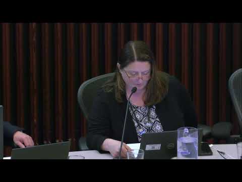
City of Santa Rosa staff briefed the Board of Public Utilities on FEMA’s updated flood risk mapping for the Santa Rosa Creek Watershed and what the maps may mean for property owners.
Claire Myers, the city’s stormwater and creeks manager, said FEMA is developing updated flood insurance rate maps that identify “special flood hazard areas,” which FEMA describes as locations with a 1% annual chance of flooding. "FEMA calls these special flood hazard areas, and they represent locations that have a 1% chance annually of flooding, sometimes called a 100 year flood," Myers said.
Myers and Jimmy Bliss, the city’s chief building official, told the board the FEMA mapping process uses local technical data and that the city supplied its Santa Rosa Creek flood study prepared with Sonoma Water. Myers said the city raised concerns with some draft mapping in which FEMA placed parcels inside floodplain boundaries…
Already have an account? Log in
Subscribe to keep reading
Unlock the rest of this article — and every article on Citizen Portal.
- Unlimited articles
- AI-powered breakdowns of topics, speakers, decisions, and budgets
- Instant alerts when your location has a new meeting
- Follow topics and more locations
- 1,000 AI Insights / month, plus AI Chat