Get Full Government Meeting Transcripts, Videos, & Alerts Forever!
Get email alerts on the Water Service Boundary topic
No spam. Unsubscribe anytime.
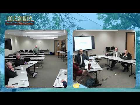
Polk County commissioners discuss disputed water-district boundary between Marshall Polk and West Central
Summary
County commissioners discussed a judicially referenced service boundary between Marshall Polk and the West Central Regional Water Districts and signaled willingness to maintain a flexible approach to future engineering and service decisions while noting the need to present a clear map in court proceedings.
Polk County commissioners discussed a dispute over where the service boundary should be drawn between Marshall Polk and the West Central Regional Water District during their Dec. 3 meeting.
Commissioners said the line that matters for the court and judicial process is the map the board approved in March and that, while the board intends service boundaries to remain flexible for practical engineering and customer-service reasons, the court record requires a single map. Commissioner Paul said the board wants residents in the contested area to receive water service regardless of which provider ultimately serves them. Commissioner Jeff said engineering and customer demand will determine where service is feasible in the long run.
Commissioners noted Marshall Polk has pressed for a “hard” boundary and that West Central’s position — and the board’s — has been to avoid locking in a rigid line where possible. Several commissioners said they want Marshall Polk to produce the documentation it used when establishing its original service area and to present that record in court if it relies on it. Commissioners also raised concerns about how board representation and apportionment would work across the two districts given differing board sizes for Marshall Polk and West Central.
No formal motion or vote was recorded on changes to the map; commissioners discussed next steps, including asking Marshall Polk to provide historical boundary documentation and remaining open to inter-district discussion. Commissioners said the judicially approved map remains the operative document “until proven otherwise.”
Ending: Commissioners instructed staff to note the discussion for future meetings and to try to obtain any documents Marshall Polk used when originally setting its boundary so the county can better present its position to the court if required.