Get Full Government Meeting Transcripts, Videos, & Alerts Forever!
Get email alerts on the Transit Oriented Development topic
No spam. Unsubscribe anytime.
Coral Gables approves University Station rapid‑transit overlay after monthslong debate
Summary
Coral Gables’ City Commission voted Oct. 28 to adopt a University Station Rapid Transit District overlay for properties along U.S. 1 between Caballero and Turín, after a lengthy public hearing on local control, height limits and the risk of losing impact fees to county RTZ jurisdiction.
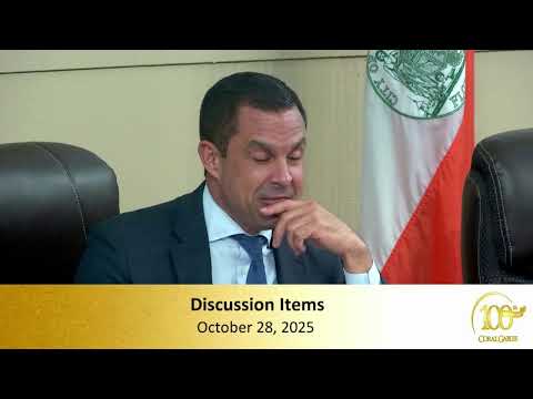
Coral Gables’ City Commission voted Oct. 28 to adopt a new University Station Rapid Transit District overlay and to amend the city’s comprehensive‑plan and zoning maps for property along U.S. 1 between Caballero Boulevard and Turín Street. The action followed a multihour hearing in which commissioners, staff and members of the public debated local control, building height, and the potential loss of impact fees if developers instead use the county’s Rapid Transit Zone (RTZ).
The city‑initiated proposal adds an overlay allowing higher mixed‑use intensity (MX‑3) close to the University of Miami and creates a streamlined city review path for projects that would otherwise be considered by Miami‑Dade County in its RTZ process. City planning staff told the commission the overlay would limit maximum as‑of‑right height to 120 feet, with an option to reach 147 feet when projects deliver additional public open space, and would couple density rules with a transfer‑of‑development‑rights pathway and parking reductions tied to submitted parking plans.
Commissioners and members of the public questioned whether the measure would limit future choices or instead protect Coral Gables’ ability to negotiate for community benefits. Opponents warned that failing to adopt a local overlay would hand jurisdiction to the county and could result in taller, higher‑density developments built under county rules that the city cannot control. Proponents said an overlay created by the city gives local officials leverage to protect design standards, secure public open space and preserve impact fees that fund local parks and services.
Following extended discussion the commission voted to adopt the overlay and associated text and map changes. After or during the hearing, commissioners urged staff to keep negotiating with affected property owners and developers in hopes of securing proposals that fit the local context while preserving revenue streams used for municipal services.
What it means: The overlay is intended to give Coral Gables the chance to review and negotiate proposed developments near the rail station area under city rules rather than losing the projects to county RTZ jurisdiction. City staff said they will return with implementation details and will coordinate public outreach and required development standards. The vote was taken after extensive community comment; commissioners urged neighbors and stakeholders to rely on project‑level neighborhood outreach to inform design and mitigation measures.
Speakers quoted on the record: • Jennifer Garcia, Planning & Zoning director: “This is a holistic look at the area between Caballero and Turín facing U.S. 1, which is primarily MX‑1 today. The overlay lets the city set a clear process for projects along the transit corridor.” • Mayor Vince Lago: “This is our chance to regain leverage over projects that otherwise could go to the county under RTZ rules.”
Actions (selected): • Adopted: City‑initiated comprehensive‑plan map amendment and zoning map/text changes to create the University Station Rapid Transit District overlay for the blocks bounded by U.S. 1, Caballero, Madruga and Turín. Outcome: approved by the commission.
Why it matters: The change addresses a narrow but high‑impact area that developers have targeted because of proximate transit and university demand. It attempts to balance transit‑oriented redevelopment with city design standards and local service funding.