Get Full Government Meeting Transcripts, Videos, & Alerts Forever!
Get email alerts on the Gis Mapping topic
No spam. Unsubscribe anytime.
Council gives first reading to interlocal agreement for aerial imagery (OR-023); Sellersburg share set at $4,000 per year
Summary
The council held the first reading of Ordinance 2025-OR-023, an interlocal agreement among Clark County municipalities to jointly purchase aerial imagery (EagleView) for GIS mapping. The town's share was listed as $4,000 for 2026 and $4,000 for 2027; the ordinance will return for further readings.
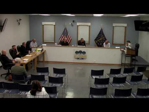
The Town of Sellersburg council approved the first reading of Ordinance 2025-OR-023, an interlocal agreement among Clark County jurisdictions to jointly purchase aerial orthoimagery for geographic information system (GIS) mapping.
Staff explained the multi-party agreement covers 2026 and 2027 imagery purchases through EagleView and allocates costs among participating jurisdictions. The agenda packet lists Sellersburg's share as $4,000 for 2026 and $4,000 for 2027. The agreement includes provisions that, if an entity cannot pay its full share, other entities will cover the shortfall up to specified caps; Sellersburg's maximum additional contribution noted in the materials was $5,000.
Town counsel noted that, under Indiana law, interlocal agreements are entered by ordinance; the council approved the first reading and said it will return with a formal ordinance sheet at the next meeting for subsequent readings and final adoption.