Get Full Government Meeting Transcripts, Videos, & Alerts Forever!
Get email alerts on the Flood Control topic
No spam. Unsubscribe anytime.
Flood-control district shows Pinole Creek gauges, flood stages and funding limits; vegetation, erosion cited as maintenance challenges
Summary
County flood-control staff demonstrated a web-based rainmap and three flood-stage thresholds at San Pablo Avenue, explained how stream gauges feed the portal and described constrained funding and vegetation/erosion maintenance needs on Pinole Creek.
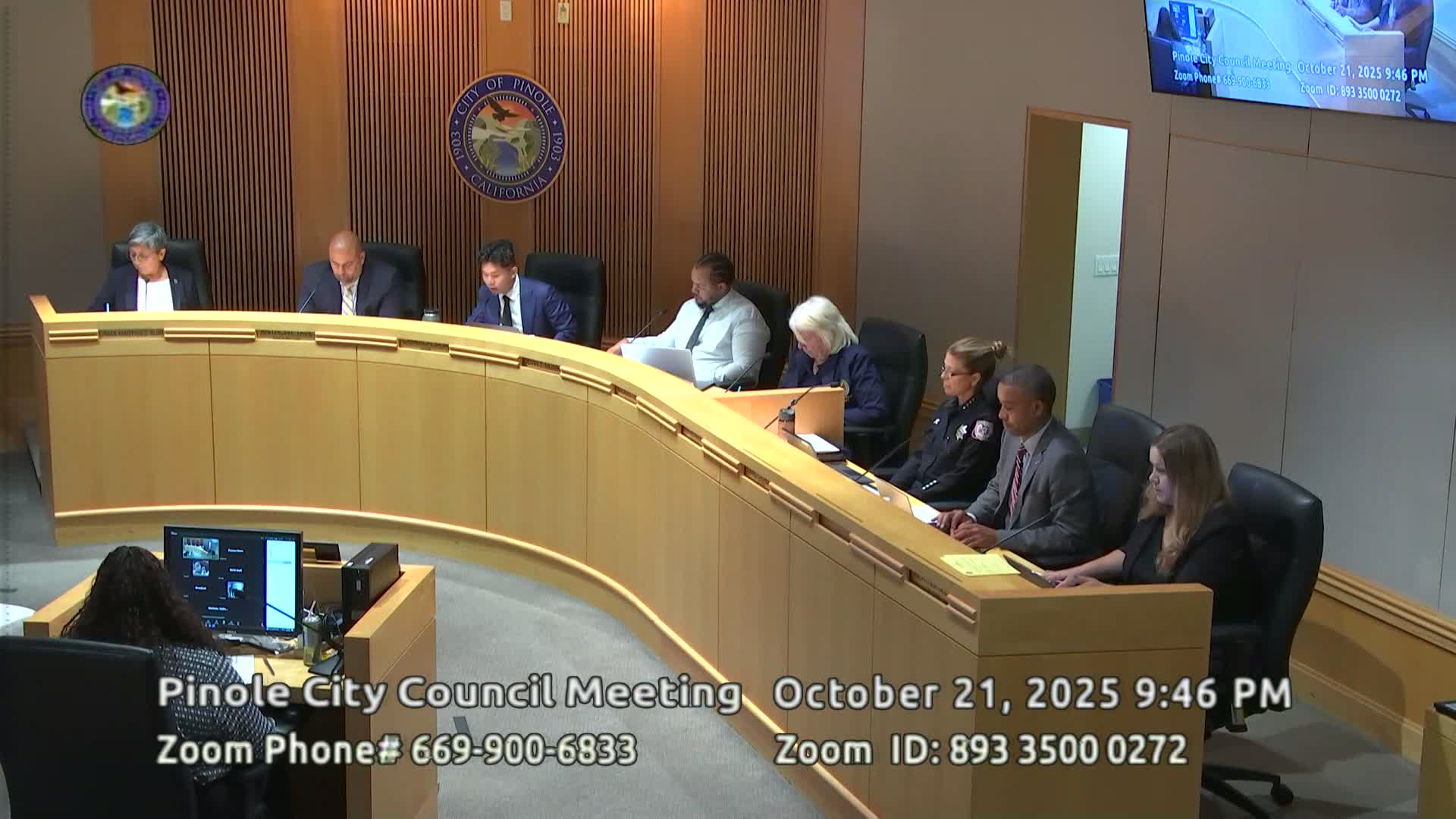
Pinole — A senior hydrologist from the Flood Control and Water Conservation District briefed the council Oct. 21 on the Pinole Creek watershed, county stream gauges and a public rainmap portal that provides near-real-time water-level readings and model-based flood-stage thresholds at San Pablo Avenue.
Mark Bauscher, the district hydrologist, described the county’s radio- and cellular-linked gauge network and demonstrated the rainmap web interface that shows Doppler radar, rain-gauge measurements and stream-stage graphs updated every 15 minutes. Bauscher said modeling identified three distinct flood stages at the Pinole Creek gauge at San Pablo Avenue, and the county has published maps and a report with those stage thresholds.
Bauscher emphasized maintenance constraints: Zone 9 — the reach that contains much of the channel through Pinole — lost assessment revenue after Proposition 13 and has limited tax revenue to keep the channel cleared. Vegetation and debris, including invasive plants, reduce conveyance and complicate emergency response; Bauscher said permits (Regional Water Board, Fish & Wildlife, U.S. Army Corps) and funding availability also affect how and when clearing can be performed.
Bauscher noted the county’s plan to make the rainmap and flood-stage pages more visible to the public and encouraged residents to report observed flooding via an emailed form on the portal so the county can refine stage thresholds and response plans. He said a targeted repair project on a collapsed reach is planned for 2026 and encouraged further coordination with city staff on secondary conveyance and road-based overflow routing where feasible.