Get Full Government Meeting Transcripts, Videos, & Alerts Forever!
Get email alerts on the Wildfire Mitigation topic
No spam. Unsubscribe anytime.
Nevada County details expansion of Woodpecker Ravine shaded fuel break after CAL FIRE grants
Summary
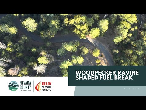
A Nevada County staff member said the county is expanding the Woodpecker Ravine Shaded Fuel Break Project with funding from CAL FIRE, noting Phase 1 implementation covers about 410 acres and a second CAL FIRE grant will add roughly 726 acres.
A Nevada County staff member said the county is expanding the Woodpecker Ravine Shaded Fuel Break Project with funding from CAL FIRE, describing Phase 1 implementation as underway and a second CAL FIRE grant that will add roughly 726 acres to the project area.
The speaker told the meeting that the Nevada-Yuba-Placer Unit of the California Department of Forestry and Fire Protection (CAL FIRE) identified Woodpecker Ravine as a priority in its unit strategic plan and that county staff successfully applied for wildfire mitigation grant funding to support the work. "This project wouldn't be successful if we hadn't done early communication with the Nevada-Yuba-Placer Unit CAL FIRE team," the staff member said.
Staff said Phase 1 funds implementation of about 410 acres of shaded fuel break work, and a second grant will add an estimated 726 acres. The project is focused on protecting critical evacuation routes "that folks would be using if they needed to get out quickly, and first responders needed to get in quickly," the speaker said. The county described the work as landscape-scale fuel mitigation intended to reduce underbrush and dead growth that can allow fires to spread rapidly.
County staff said they coordinated with local residents to gauge support for a shaded fuel break and found multiple Firewise communities in the project area that have been doing vegetation clearing and home-hardening work for years. A resident representative said their local Firewise community began in 2016 and extends roughly from Highway 174 to Lower Colfax Road and from near Rattlesnake Road toward Chicago Park, with volunteers clearing roadsides and helping elderly residents with defensible space and home hardening.
The staff member outlined the landowner outreach and environmental review process: landowners will receive a letter requesting they sign a right-of-entry form to allow county staff to inspect treatment areas; staff will flag sensitive areas and conduct environmental compliance checks, including protections for streams, biological resources and potential cultural resources. The county will complete mapping and planning, notify landowners of the acres and treatment planned on their property, and request a form authorizing fuels-reduction work.
Describing the project as one of the county's major investments in landscape-scale mitigation, the speaker said the effort aims to protect houses, towns and evacuation routes from wildfire threats. The presentation closed with a direction to consult Nevada County's online information about the Woodpecker Ravine project and the remark, "We are all in this together."