Get Full Government Meeting Transcripts, Videos, & Alerts Forever!
Get email alerts on the Land Use Quarrying topic
No spam. Unsubscribe anytime.
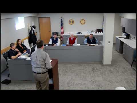
Dickinson County commission approves conditions for CUP 24-09 to expand rock quarry; adds quarter‑mile residential setback
Summary
After public comment and debate, the Dickinson County Commission voted to approve conditions for Conditional Use Permit (CUP) 24‑09 to allow an expansion of an existing rock quarry, adopting additional requirements including dust control, a reclamation bond, annual inspections and a quarter‑mile buffer from residences.
The Dickinson County Board of County Commissioners voted to approve conditions for Conditional Use Permit CUP 24‑09, which would permit an expansion of an existing rock quarry in the southwest quarter of Section 1, Township 13 South, Range 4 East, subject to conditions the board added and amended after public comment and staff recommendations.
The conditions approved include compliance with state agency requirements, a dust‑abatement plan because the project lies within a quarter‑mile of residential structures, an updated site plan prepared by a licensed surveyor, a reclamation bond acceptable to the county engineer and the state, a road‑maintenance agreement if trucks use public right of way, annual county inspections to verify compliance, use of overburden to form berms or other screening where residential neighbors are adjacent (provided drainage is not adversely impacted), an updated area‑specific well study due within 60 days or proof of substantial progress, and a required buffer that the commission amended to a quarter mile from any existing residence.
The planning staff described the procedural path for the CUP and the specific items planning had recommended. Zoning administrator Tim Hamilton told commissioners that the planning commission had recommended approval in a 3‑to‑2 vote and reviewed key items: compliance with the Kansas matrix of agencies (Division of Conservation, Division of Water Resources), state permits and reclamation plans, annual inspections, and a local setback requirement. Hamilton said the county has not historically held local reclamation bonds and that the state typically handles bonds unless the local bond requirement exceeds $700 per acre.
The public comment period drew several residents and parties with opposing views. Mark Edwards, speaking as a representative for some landowners, urged the commission to deny the CUP, saying, “We're asking you to deny this CUP, and you and you alone have the authority to do that.” Edwards and other neighbors argued the site should be treated as agricultural land and questioned whether prior operations established a lawful grandfathered use.
Applicant Dave Walker, who identified himself as having operated quarries in the area for decades, said the property had been leased and quarried historically and that his company had operated in the region for about 55 years. Walker said the operation had produced material on and off the property since the 1970s and offered several mitigation measures to neighbors, including seismographs and hydrologic testing. Walker said, “we have quarried approximately, prior to 02/2020, we quarried approximately 80 to 90 acres in that north half of that section.”
Neighbors described concern about potential impacts to wells, house foundations and property values. One neighbor asked for a baseline structural inspection and well testing with a later comparison after blasting; staff and the commission said such agreements are civil matters between parties and are not conditions the county can enforce as part of a CUP. Commissioners noted they can and do set conditions (setbacks, dust control, reclamation bonds, inspection regimes and buffers) but cannot force two private parties into a civil remediation agreement.
Commissioners debated increasing the buffer from the applicant's 1,000‑foot proposal. After discussion, Commissioner commentary and a motion to amend, the board replaced a 1,000‑foot buffer with a quarter‑mile (1,320 feet) buffer from any existing residence and added language requiring berms/screening “provided drainage is not adversely impacted.” The board then voted to approve the CUP conditions as amended. The final vote on the motion to accept the conditional use permit conditions as amended passed (ayes recorded; no nay votes recorded). The board directed staff to draft a resolution reflecting the conditions for formal signature at the next meeting.
The county attorney and staff referenced applicable statutes and county regulations during the discussion; the meeting record shows references to the Open Meetings Act (KSA 75‑40317 and KSA 75‑40318) during the public comment rules, county zoning regulation citations regarding legally nonconforming uses (identified in the record as 22‑22‑102), and a state excavation/setback provision referenced by staff as KSA 49‑501 (as cited in the staff summary).
Next steps: staff will prepare a resolution that incorporates the approved conditions and bring it back to the Board at the next meeting for formal adoption and signature. The resolution will specify the final condition language, the quarter‑mile buffer, the reclamation bond amount to be determined with the county engineer/state guidance, the dust‑abatement plan requirement, annual inspection schedule and the well study timeline.