County vulnerability assessment maps flood risk to coastal dune lakes; staff highlight living-shoreline options
Get AI-powered insights, summaries, and transcripts
Subscribe
Summary
Taylor Engineering presented Walton County's vulnerability assessment, showing mapped flood exposures for dune-lake focus areas under sea-level rise and storm scenarios and identifying resilience actions such as native vegetation, living shorelines and monitoring triggers.
Walton County—s coastal vulnerability assessment shows rising exposure of county assets -- including coastal dune lakes and adjacent infrastructure -- under sea-level-rise and storm scenarios, Taylor Engineering told the Coastal Dune Lakes Advisory Board.
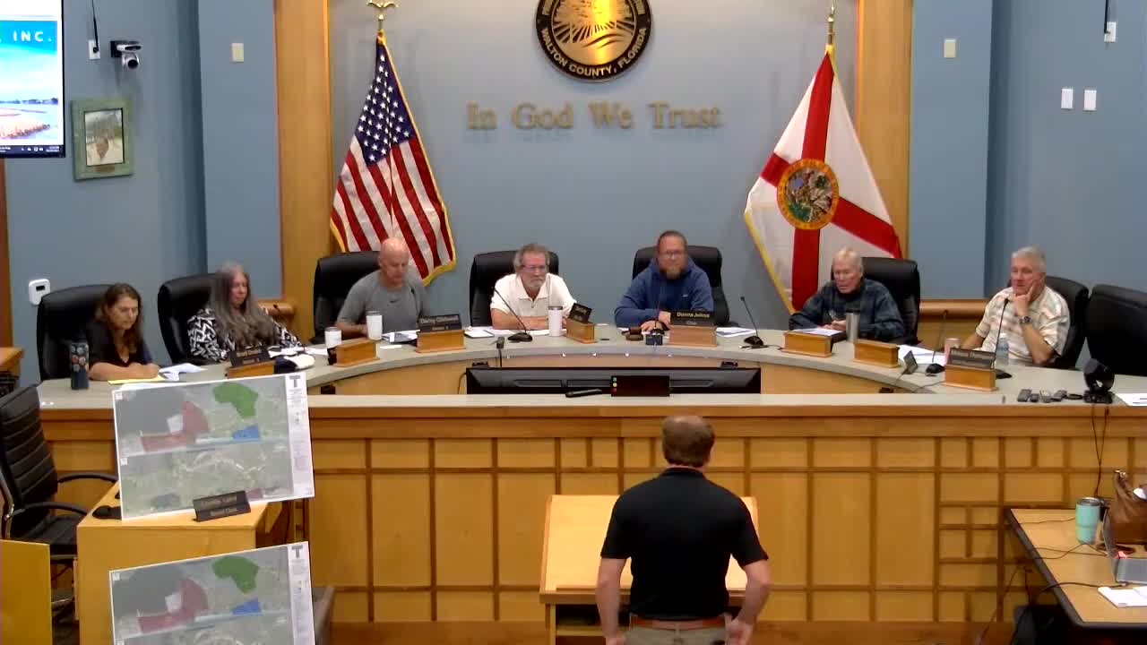
Duncan Greer, coastal waterfront engineer with Taylor Engineering, summarized the study approach: catalog county assets, set critical-elevation thresholds for those assets, overlay a high-resolution digital elevation model (DEM), then model coastal flooding and rainfall scenarios for current and future conditions (2050 and 2080 sea-level-rise/storm scenarios). "We developed a GIS database of assets, and then we developed water level scenarios for sea level rise, for coastal flooding," Greer said during the presentation (01:12:37). Greer showed focus-area flood-exposure maps for oyster, Western and other lake crossings that illustrate increasing flood depth under 2050 and 2080 scenarios.
Greer emphasized resilience opportunities at the lake scale: native vegetation and living-shoreline plantings to reduce erosion and stabilize shores, monitoring and trigger-based permits to manage outfall operations, and continued investment in stormwater and watershed projects. He noted that hard stabilization such as riprap is generally not permitted in dune lakes and that vegetation-based living shorelines are the appropriate small-scale adaptation option.
Why it matters: The vulnerability assessment is a state funding prerequisite (Resilient Florida/DEP) for future adaptation grants and sets the groundwork for an adaptation plan. The maps and asset inventory provide the county and partners with evidence to prioritize restoration, living-shoreline and stormwater projects that reduce future flood exposure.
Next steps: The county will develop an adaptation plan to identify projects and seek state funding; the advisory board discussed using the assessment to support grant applications for lake-scale vegetation and restoration projects.
