Planning‑board review underway for former sandpit redevelopment; consultant outlines overlay and zoning options
Get AI-powered insights, summaries, and transcripts
Subscribe
Summary
A consultant presentation to the planning board has advanced discussion of a redevelopment proposal for former sandpit properties. The study outlines three zoning approaches — conservation/residential, mixed commercial/residential, or industrial/residential — and leaves the ultimate choice to the planning board and further public input.
A consultant’s presentation to the planning board has focused attention on redevelopment options for former sandpit properties that span parts of Route 68 and adjacent parcels.
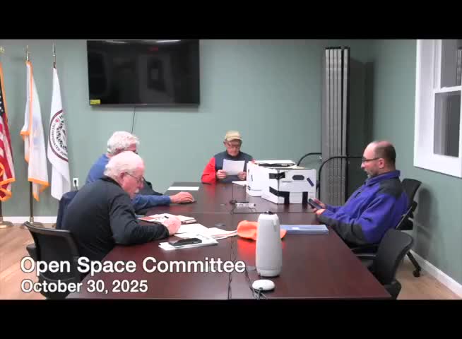
At the committee meeting, members summarized the Oct. 16 planning‑board presentation by a consultant from the firm Niche. The consultant, Mitch, outlined three broad categories for reuse: conservation with recreation and residential; mixed commercial and residential; and industrial with residential. The presentation included conceptual map sketches showing potential road access from Route 68 and placement of commercial uses near the road with residential and conservation areas farther inland.
The committee clarified zoning options discussed in the presentation. An overlay district would not automatically change base zoning but could impose additional restrictions on top of existing rules; amending the base zoning would directly alter lot‑by‑lot standards. Alec, town planner, answered procedural questions about what zoning changes are legally possible and confirmed that any changes would require the usual town approvals.
Committee members noted that Niche’s work so far describes possible categories and mapping approaches rather than recommending a chosen path. The planning board has reviewed the presentation and asked questions but had not made decisions at the Oct. 16 meeting. Committee members were encouraged to bring detailed materials or presentations to the planning board if they wish to influence the review.
Members raised questions about how the study area was defined. The original study boundary, they said, was based on parcels historically associated with sand extraction and on landowners who came forward; at present, the consultant’s proposed restrictions apply only to parcels owned by one owner (Justin) who has been in active contact with town staff. Nate, who has served as a contact in discussions with owners, said some adjacent owners were unaware of the initiative, which members identified as a potential public‑engagement gap.
The committee discussed potential fiscal impacts. One locally drafted alternative referenced in committee materials estimated annual tax revenue in the range of $300,000–$500,000 and roughly 100 jobs for certain development scenarios; the Niche presentation did not include specific fiscal revenue estimates. Members said more detailed fiscal modeling would be helpful as the planning board moves toward recommendations.
Next steps outlined at the meeting: the planning board will consider which of the three categories to pursue, determine whether to use an overlay or amend base zoning, and likely open the matter to further public comment. Niche will continue technical work if requested by the planning board, and committee members were advised to send materials to planning staff (Christopher and Nate were named as contacts) or sign up to present at future planning‑board meetings.
Why this matters: the parcel group is sizable and includes conservation and aquifer restrictions in parts of the site; the choice of zoning approach will shape what kinds of development or conservation are permissible and will affect the town’s long‑term tax base and trail connectivity prospects.
