Get Full Government Meeting Transcripts, Videos, & Alerts Forever!
Clallam County to sign interlocal for countywide coastal LiDAR/bathymetry project
Summary
County staff and geomatics specialist Chandra briefed commissioners on an interlocal agreement with Jamestown for updated LiDAR and nearshore bathymetry covering the North Olympic Peninsula coastline; county will own the resulting dataset and publish maps and a public map explorer to support sea‑level rise, habitat and planning work.
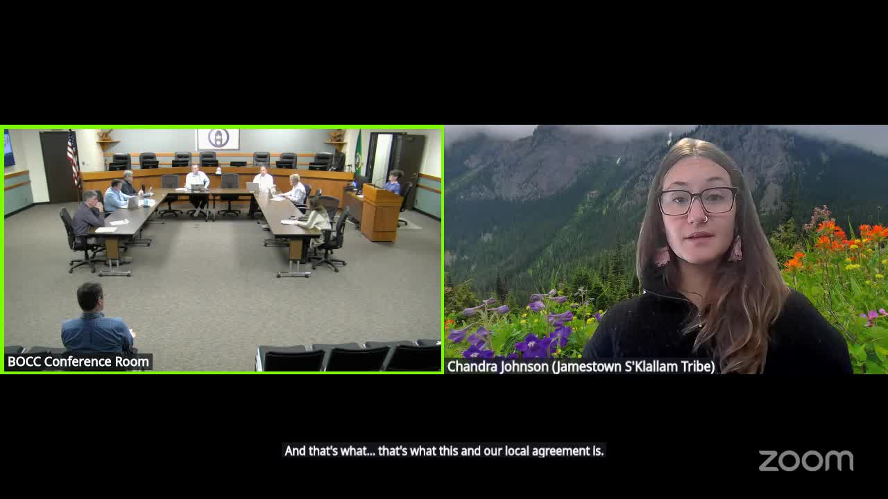
Clallam County staff and geomatics specialist Chandra told commissioners on Oct. 13 that the county will enter an interlocal agreement with Jamestown to fund and collect high‑resolution LiDAR and bathymetric surveying for the county’s entire coastline from Cape Flattery to Point Wilson along the Strait of Juan de Fuca. The work is intended to replace fragmented and outdated datasets — some charts and soundings date back to the 19th and mid‑20th…
Already have an account? Log in
Subscribe to keep reading
Unlock the rest of this article — and every article on Citizen Portal.
- Unlimited articles
- AI-powered breakdowns of topics, speakers, decisions, and budgets
- Instant alerts when your location has a new meeting
- Follow topics and more locations
- 1,000 AI Insights / month, plus AI Chat