Get Full Government Meeting Transcripts, Videos, & Alerts Forever!
Get email alerts on the Environmental Data topic
No spam. Unsubscribe anytime.
Clallam County to sign interlocal for countywide coastal LiDAR/bathymetry project
Summary
County staff and geomatics specialist Chandra briefed commissioners on an interlocal agreement with Jamestown for updated LiDAR and nearshore bathymetry covering the North Olympic Peninsula coastline; county will own the resulting dataset and publish maps and a public map explorer to support sea‑level rise, habitat and planning work.
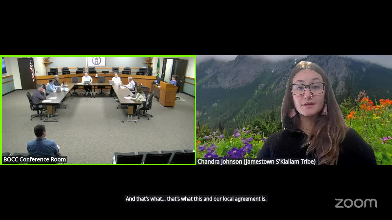
Clallam County staff and geomatics specialist Chandra told commissioners on Oct. 13 that the county will enter an interlocal agreement with Jamestown to fund and collect high‑resolution LiDAR and bathymetric surveying for the county’s entire coastline from Cape Flattery to Point Wilson along the Strait of Juan de Fuca. The work is intended to replace fragmented and outdated datasets — some charts and soundings date back to the 19th and mid‑20th centuries — and to provide up‑to‑date topographic and nearshore elevation data for hazard mitigation, sea‑level rise modeling, habitat restoration and navigation planning.
Chandra explained the technical gap: existing countywide datasets are a patchwork that includes some high‑quality 2017 surveys at low tide but also older bathymetric soundings; updated LiDAR/bathymetry will enable comparisons across time to identify bluff erosion, sedimentation trends and areas of navigational concern. Staff said the resulting dataset will be owned by Clallam County, posted to the Washington DNR LiDAR portal and available via a county map explorer so the public can view the data without specialized software.
Staff framed the project as part of the county’s hazard‑mitigation and planning work; project outputs were identified as useful for sea‑level rise modeling, shoreline master program updates and future grant applications. Commissioners asked which shoreline segments are covered; staff replied the North Olympic Peninsula coast along the Strait will be included and that the survey will also capture upland bluffs to quantify erosion.
Next steps: Staff said they will bring the interlocal agreement to the regular meeting agenda for signature and that project details and data access will be posted on the county GIS portal and the Puget Sound National Estuary Program website.