Get Full Government Meeting Transcripts, Videos, & Alerts Forever!
Get email alerts on the Gis topic
No spam. Unsubscribe anytime.
GIS staff outline countywide mapping services, permit integration workaround and revenue efforts
Summary
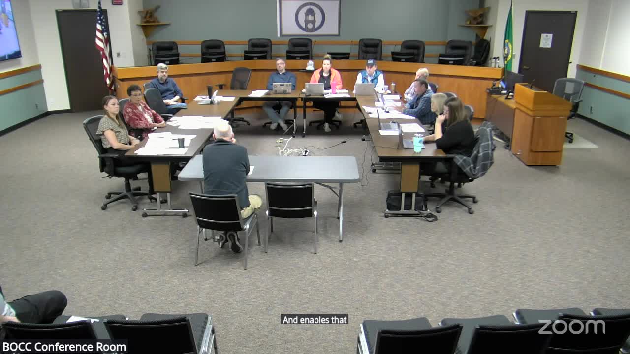
Chad Heitzman, Clallam County’s GIS manager, told commissioners Nov. 4 that GIS provides the spatial foundation for assessor parcels, permitting (EPL/Tyler), critical‑areas mapping, addressing/NG9‑1‑1, CRAB road asset reporting and numerous department dashboards — but the GIS budget currently lacks dedicated revenue sources.
Chad Heitzman, the county’s GIS manager, told the Board that GIS provides the foundational spatial datasets that other departments and applications rely on: property parcels and assessor support; precinct and voter mapping; parcel feeds into permitting software; zoning and critical‑areas layers; addressing for NG9‑1‑1; road and sign asset data to report into the County Road Administration Board (CRAB) system; stormwater and sewer line mapping for permitting; and public‑facing maps used by residents and businesses.
Heitzman said the GIS budget currently lacks dedicated revenue sources. GIS staff are working with the Department of Community Development (DCD) and Environmental Health to clarify fee relationships when departmental services require GIS data and to establish potential chargebacks for specific datasets.
Permit system integration: Heitzman described a recent technical challenge after the county implemented EPL (Tyler) for permitting. Because EPL’s parcel handling did not match the county’s previous workflow, GIS developed a custom application to provide "ghost child" or placeholder parcel functionality that allowed DCD to continue permitting work while the assessor finalized parcel records. Heitzman said that capability is unusual among counties and that Tyler did not supply the same solution.
Data maintenance and updates: Commissioners asked how critical‑areas mapping and other layers stay current. GIS explained that qualified field surveys and reports (wetland delineations, steep‑slope determinations, septic O&M updates) are entered through an application and then the GIS maps are updated; layers have different refresh cadences and some elements (streams) are more stable than others.
Value‑added services and workload: Heitzman highlighted GIS contributions across departments — parks surveys and dashboards for planning, a charter review mapping tool, detective case support, the Emergency Operations Center mapping, and campground reservation coordination — and said GIS handled 46 work requests between January and July 2025. He encouraged outreach to cities (Port Angeles, Sequim) about shared use of the EPL parcel workaround and potential shared services.
Provenance: Remarks on GIS services and the EPL parcel workaround began with Heitzman’s presentation (00:31:43) and ended after follow‑up discussion about updates and city coordination (last referenced 00:50:22).