Dakota County authorizes contract with Metropolitan Council for geospatial data
Get AI-powered insights, summaries, and transcripts
Subscribe
Summary
The Dakota County Board of Commissioners authorized the county to execute a contract with the Metropolitan Council for Metro GIS services beginning Jan. 1, 2026. Under the agreement, Dakota County will provide four datasets quarterly and receive $4,000 annually.
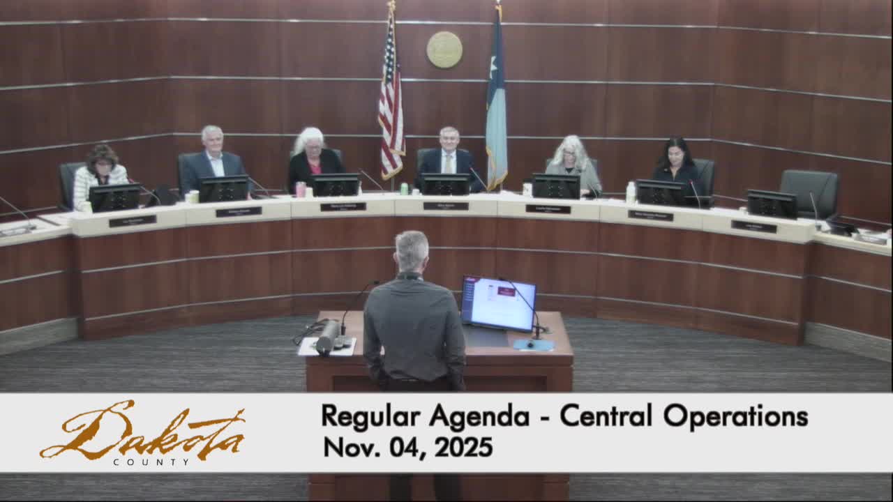
The Dakota County Board of Commissioners authorized Nov. 4 a three-year contract with the Metropolitan Council to participate in the Metro GIS regional data program and to provide quarterly delivery of four county geospatial datasets.
Joe Sablatel, the county's GIS manager, explained the county's long-standing participation in Metro GIS and described the proposed contract terms. "What I have before you is a contract that would be in effect 01/01/2026. It would be for 3 years with an option to extend it for 2," Sablatel said. He said Dakota County would deliver four datasets quarterly to the Metropolitan Council, which aggregates them into regional products and publishes them on a public data platform.
Sablatel said Dakota County would receive $4,000 annually under the agreement. He described Metro GIS as a cooperative forum serving local government, state agencies, watershed districts, academic institutions and private-sector users in the Twin Cities region.
Commissioner Droste moved to authorize execution of the contract; a second was recorded and the board approved the authorization by roll call.
