Get Full Government Meeting Transcripts, Videos, & Alerts Forever!
Developer Withdraws High‑Density Tag Lakeside Proposals After Daylong Hearing; Residents, Conservation Groups Raised Flood, Traffic and Habitat Concerns
Summary
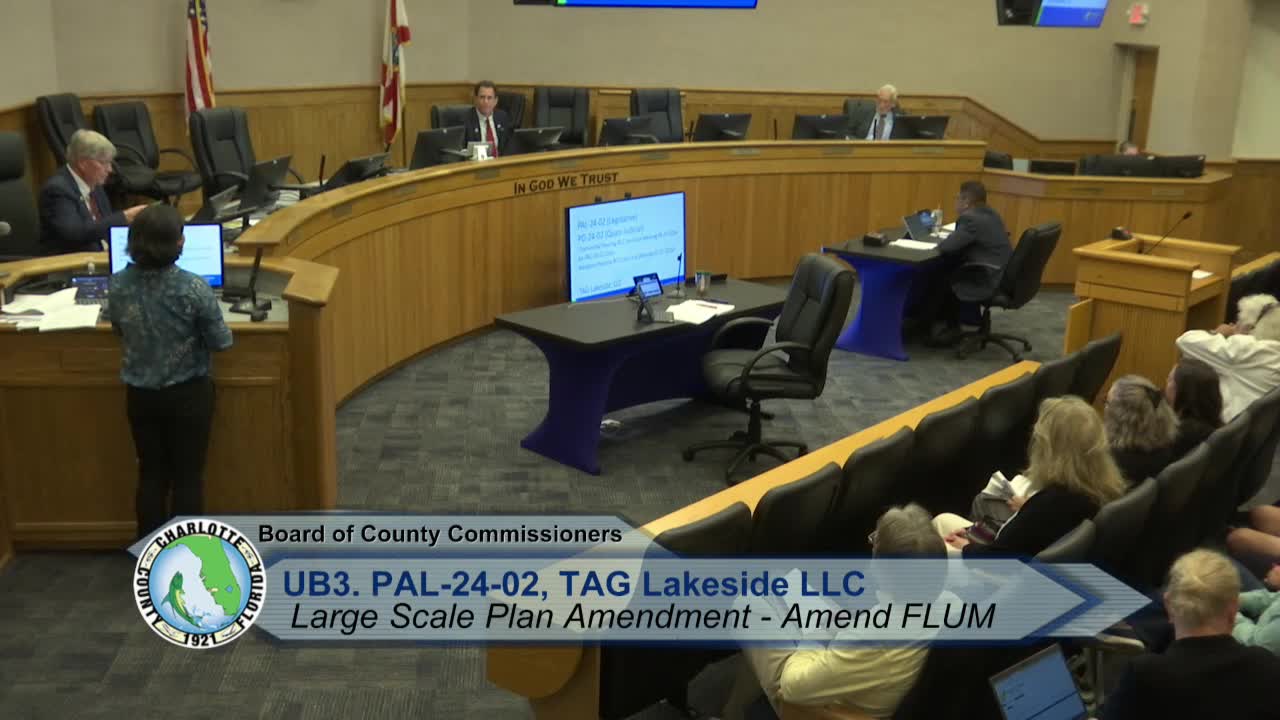
The applicant for a proposed 1,188‑unit Tag Lakeside development west of U.S. 17 withdrew its large‑scale comprehensive‑plan amendment and companion PD rezoning after a marathon Feb. 25 public hearing marked by intense resident opposition and persistent questions from commissioners over water, wastewater and habitat protection.
A proposed high‑density housing project west of U.S. 17 — the Tag Lakeside plan that would have converted about 139 acres to medium‑density residential and allowed up to 1,188 dwelling units — was withdrawn by the applicant after a lengthy public hearing at the Charlotte County Board of County Commissioners on Feb. 25.
The board convened a packed hearing and heard roughly three hours of staff and applicant presentation followed by more than three hours of public comment and technical reply. Residents, neighborhood groups, the Center for Biological Diversity and other speakers urged the board to reject or delay the land‑use change, saying the scale and timing were inappropriate. Key concerns were traffic and congestion on U.S. 17, storm surge and flood risk, the availability of central water and sewer, emergency response capacity, and impacts to listed and protected wildlife, including scrub‑jay habitat and gopher tortoise burrows.
Why it mattered: If approved, the amendment would have raised density on the parcel to about 8.5 units per acre overall but concentrated most buildings on the upland portion of the site. The applicant's general plan included nearly 50 percent of the site designated as habitat preservation, and the applicant's consultants presented storm‑surge and flood modeling that they said showed proposed building finished floors would sit above anticipated surge on the upland areas. Still, multiple county and state agencies and many residents said they needed…
Already have an account? Log in
Subscribe to keep reading
Unlock the rest of this article — and every article on Citizen Portal.
- Unlimited articles
- AI-powered breakdowns of topics, speakers, decisions, and budgets
- Instant alerts when your location has a new meeting
- Follow topics and more locations
- 1,000 AI Insights / month, plus AI Chat