Get Full Government Meeting Transcripts, Videos, & Alerts Forever!
Get email alerts on the Zoning Map Correction topic
No spam. Unsubscribe anytime.
Staff identifies zoning-map error for 3521 South Rogers Street; plan commission to consider public hearing
Summary
Staff told the plan commission that a narrow parcel at 3521 South Rogers Street appears on the county GIS as included in a PUD due to a mapping error; staff recommended the commission review the correction and suggested taking it as a public hearing so that neighbors and the property owner can comment.
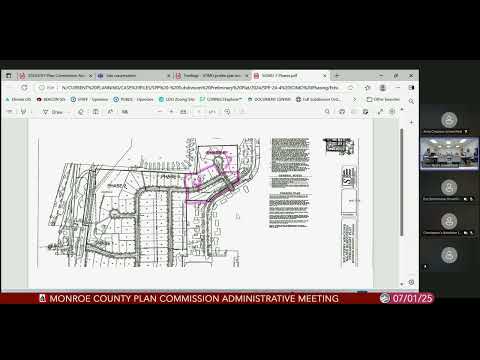
Staff presented an apparent zoning-map error showing a long narrow parcel at 3521 South Rogers Street as part of a PUD when review of historical records, GIS, the original subdivision and references to City of Bloomington Ordinance 92-43 indicate the parcel should be in a different subdistrict. Staff displayed the parcel on the map and said the current GIS layer shows the parcel as part of the PUD incorrectly.
Commissioners discussed whether the correction should be processed as a public hearing item or handled administratively. Staff recommended taking the correction as a public hearing for transparency given the property's development history and because the owner has discussed possible multifamily development with staff, though staff said it was unclear whether public utilities or commitments exist that would enable immediate multifamily construction.
Staff recommended placing the correction on a future plan commission agenda as a public-hearing item and, if appropriate, working with the petitioner to identify the correct zoning district prior to a hearing. No formal vote was taken to rezone the parcel at this meeting.