Get Full Government Meeting Transcripts, Videos, & Alerts Forever!
Owner seeks formal rezoning after county map error on 931 Anderson Road
Summary
A property owner told Greenville County staff that a parcel at 931 Anderson Road has been shown as R-7.5 on county maps for decades despite never having a record of an official rezoning; staff said legal counsel advised a formal rezoning to correct the map and that the owner’s 2022 variance remains valid.
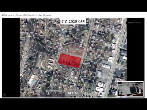
Nicholas Graham told Greenville County the parcel at 931 Anderson Road has long appeared on county maps as R-7.5, though records show it was legally C-2. The matter was discussed during public hearing docket CZ-2025-059.
Staff explanation: Todd (planning staff) explained the parcel was initially zoned C-2 in 1973 and that a 1983 rezoning docket covered a number of neighboring parcels to R-7.5; the…
Already have an account? Log in
Subscribe to keep reading
Unlock the rest of this article — and every article on Citizen Portal.
- Unlimited articles
- AI-powered breakdowns of topics, speakers, decisions, and budgets
- Instant alerts when your location has a new meeting
- Follow topics and more locations
- 1,000 AI Insights / month, plus AI Chat