Get Full Government Meeting Transcripts, Videos, & Alerts Forever!
Get email alerts on the Riverfront Master Plan topic
No spam. Unsubscribe anytime.
Moline council previews near-final riverfront master plan with park, amphitheater and mixed-use district
Summary
Consultant MKSK previewed a near-final riverfront master plan that centers a River District park and mixed-use development, while council questions focused on flood mitigation, the Kone Tower reuse and multimodal connections.
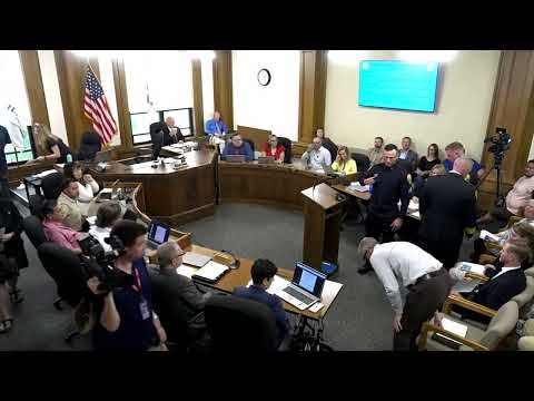
Moline officials on Tuesday received a near-final master plan for the city's riverfront that shows a multi-district redevelopment centered on a large river park, public overlooks and a flexible amphitheater alongside mixed-use development.
"This is a legacy project," Brett Bridal, a landscape architect with MKSK, told the council as he described what he called a "world-class" plan developed over two years with community input. The plan, Bridal said, is at about a "99% level" and staff expect to seek adoption next month.
The master plan divides the study area into districts—7he River District along the river, a Fifth Avenue hub, a Gateway District at the I-74 approach and a River East residential area—7and calls for improved pedestrian and bike connections to link existing downtown assets such as the Vibrant Arena and the Fifth Avenue historic district. Public-space features shown in the plan include pathways, overlooks, an outdoor amphitheater, play gardens, an interactive fountain, festival streets and reuse of parts of the Bridgepoint and Spiegel buildings.
Consultants explained flood-resilience strategies: orange-shaded areas on the plan are intended to remain above frequent flood elevations, while other areas are designed to be resilient if they flood. Civil-engineering work by EMH&T informed utility layout and safe developable footprints. Bridal said the team tested access scenarios and expects permitting and detailed engineering to refine those concepts.
Council members probed specific issues during a lengthy Q&A. Questions and staff answers focused on: whether Twentieth Street right-of-way exists (staff said yes); security and access near the adjacent water-treatment facility, where consultants proposed bollards and landscape buffering; whether residential building faces should be oriented toward the amphitheater (staff said acoustics and scheduling will be studied); and wetlands stewardship and operational maintenance.
Flood protection and long-term risk surfaced frequently. Councilmember Schmidt noted recent unusually large floods and asked whether a "100-year" design standard will be sufficient for a decades-long development; consultants said portions of the site will be elevated and that permitting and hydrology work will continue through design. The plan also shows where dredged Corps material has been stored and how those deposits may be graded into development-grade fill.
Other recurring topics included the Kone Tower's future: consultants described the tower as structurally viable but said its circulation/massing and any external stair or elevator would be studied separately so the tower's massing would not overpower adjacent development. Council and staff also discussed underpass or overpass options to reconnect east'west circulation across rail and highway corridors; consultants said both underpasses and elevated walkways have tradeoffs and would require state or railroad approvals.
Why it matters: the plan sets public priorities and design guidelines that the city expects to use to attract investment, guide permitting and apply for project-level grants. Council members and staff said adoption will be followed by a project sequencing plan and additional technical studies before any construction contracts are issued.
Next steps: staff said the council will receive the finalized plan for adoption and that consultants will transition to design-level work, permit coordination with IDOT/rail authorities and further community engagement.