Get Full Government Meeting Transcripts, Videos, & Alerts Forever!
Get email alerts on the Zoning Table topic
No spam. Unsubscribe anytime.
Planning staff flags zoning-table errors, calls for fixes to RPC overlay and RV districts
Summary
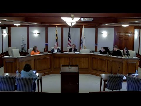
Planning Director Sarah Franklin told the Chesapeake Beach Planning & Zoning Commission on Nov. 5 that a review of the town's land-use classification table found multiple inconsistencies with the adopted comprehensive plan, and that the Residential Planned Community (RPC) overlay for Richfield Station appears to have been applied in a way that removed clear underlying zoning on the map.
Planning Director Sarah Franklin told the Chesapeake Beach Planning & Zoning Commission on Nov. 5 that a review of the town's land-use classification table found multiple inconsistencies with the adopted comprehensive plan, and that the Residential Planned Community (RPC) overlay for Richfield Station appears to have been applied in a way that removed clear underlying zoning on the map. "I went through the old land use table, the new land use table, evaluated everything for where the changes happened and whether that was consistent with the comprehensive plan," Franklin said.
The issue is technical but consequential: the RPC is a floating district intended to be applied to large, unified developments and to sit on top of the underlying zoning. Staff said the updated land-use table and map show the RPC treated as if it were underlying zoning in some places, leaving parcels without a clear base district and making routine permit reviews and small changes difficult. "Somehow in there, the floating district became the underlying zoning," Franklin said, citing Richfield Station as an example.
Commissioners discussed how that change has practical effects. Franklin said other townhome communities are shown on the map with explicit base districts (for example, RLD or RMD) and recommended restoring similarly clear underlying zoning for incomplete RPC areas so everyday permit work -- like pools, sheds and single-lot alterations -- can be processed without confusion. She also recommended allowing the RPC to permit the same uses as the underlying districts rather than prohibiting them.
The staff memo flagged other anomalies across the updated table. Franklin pointed to residential planned-community provisions that appeared overly restrictive relative to the plan's intent, and she noted several rows and columns in the new table that did not match the commission's earlier direction. She asked the commission to direct staff to prepare corrected table language and a map amendment to reintroduce appropriate base districts while preserving the RPC as a floating overlay for unified development proposals.
Commissioners also reviewed broader compliance issues. Franklin noted that state law and state-level boards can preempt local rules in some circumstances (she cited solar and other critical-area rules) and said group-home regulation is constrained by federal fair-housing law. Commissioners asked staff to identify any pending court or council actions affecting group-home policy and to return with specific ordinance edits.
What happens next: staff will prepare redlines to the land-use table and supporting map changes to restore underlying zoning in RPC areas and to correct the RV-1 and RV-2 columns. The commission directed staff to bring back draft ordinance language clarifying how floating RP C districts are displayed and applied to properties so that routine permits can be processed without ambiguity.