Washington County engineer outlines Sheep Bridge Road paving plan, stresses safety, EA and limits to traffic growth
Get AI-powered insights, summaries, and transcripts
Subscribe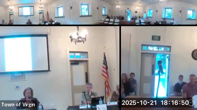
Summary
Kate Roberts, an engineer with Mainline Engineering hired by Washington County, presented the county’s plan to pave Sheep Bridge/Key Bridge Road on Oct. 21 in Virgin, saying the primary goals are safety and emergency access and that major work will proceed only after a Bureau of Land Management environmental assessment (EA).
Kate Roberts, an engineer with Mainline Engineering hired by Washington County, described a county-led project to pave Sheep Bridge/Key Bridge Road between state routes SR‑59 (south) and SR‑9 (north), saying the work is driven by safety and emergency-access needs rather than an intent to divert routine SR‑9 traffic.
Roberts told the Virgin Town Council Oct. 21 that most of the corridor is on Bureau of Land Management (BLM) land that the county currently maintains because of heavy recreational use. To obtain fee ownership the county must complete a BLM environmental assessment (EA); the project team is drafting that EA and hopes to finish the document within weeks, though Roberts warned federal review can be delayed by a shutdown. The EA will survey species, cultural resources and other environmental constraints and could change geometric details if sensitive sites are found.
The proposal calls for a 100‑foot right‑of‑way (50 feet on each side of centerline) and a roadway paved to about 28 feet (two 12‑foot travel lanes plus shoulders), with a maximum design speed of 35 mph. Roberts emphasized the design and the road’s winding vertical geometry are intended to keep speeds low and to prevent the corridor from functioning as a high‑speed bypass. The road will be roughly a quarter‑mile longer than the SR‑9 route into Hurricane and was described as a rural safety route, not a highway.
The county expects to use cost‑sensitive construction methods such as in‑place stabilization (cement treating the existing roadbed and paving over it) rather than deep excavation and thick granular base. Drainage improvements and minor horizontal/vertical safety corrections are planned; the project will avoid large earthwork where possible.
Pedestrian and bicycle facilities were discussed but have no dedicated funding. Roberts said the project includes design accommodations for a future multi‑use path where feasible and noted the design anticipates up to three undercrossings to allow a regional trail (the GEM trail) to pass beneath the new roadway. If a separate path proves necessary outside the 100‑foot ROW, a supplemental EA or EA amendment would be required.
Roberts described vehicle‑cleaning and invasive‑species precautions built into the contract specifications: mandatory vehicle washes/inspections, tracking pads, and other measures to reduce the risk of transporting noxious‑weed seed. She also said the county and BLM are coordinating to designate camping areas and reduce dispersed camping and trash in the corridor.
Timeline and approvals: Roberts said the EA is being drafted and the county will submit it for BLM review as soon as possible; she cautioned the federal review timeline is outside county control. She estimated that, if the process is not delayed, design approvals could take as little as six weeks after BLM clearance, making a November–December milestone possible but optimistic given the federal process.
Questions and public concerns: Residents pressed the project team about speeds, large RVs, sightlines, and whether paving would increase tourist traffic. Roberts said the county is aware paving could attract more users but believes the road’s geometry and design speed will discourage high‑speed through traffic; county staff said they would consider traffic‑calming measures such as medians, landscaping and vertical profile adjustments if monitoring shows vehicle speeds rise. Residents also asked for turn lanes, signage, and enforcement strategies for RVs and commercial vehicles; Roberts said many operational decisions (e.g., tunnel restrictions and state highway signage) require coordination with state agencies and UDOT.
Local maintenance and construction standards: Roberts said the current plan anticipates a 28‑foot paved width (two 12‑foot lanes) with 2‑foot shoulders and that the ROW width would permit future utility placement if the town or county pursue water or electrical infrastructure. She described a revegetation approach that stocks topsoil and surface vegetation during grading to promote faster native plant recovery.
What remains unresolved: funding for an adjacent multi‑use path, final EA findings (archaeological or biological discovery could change exact alignment), and federal review scheduling. Roberts asked residents to provide specific safety concerns to the county and offered to follow up with revised designs to show signage, curves and proposed traffic‑calming elements.
Why it matters: The road is presented as a safety‑and‑maintenance upgrade intended to provide a formal emergency alternate to SR‑9. Residents’ questions focused on day‑to‑day safety where pedestrians and bicyclists use the corridor now and on potential traffic growth after paving. The BLM EA and subsequent approvals will shape scope, schedule and environmental mitigations.