Coconino County Flood Control District advances local floodplain maps for Tucson; board hearing set for Dec. 9
Get AI-powered insights, summaries, and transcripts
Subscribe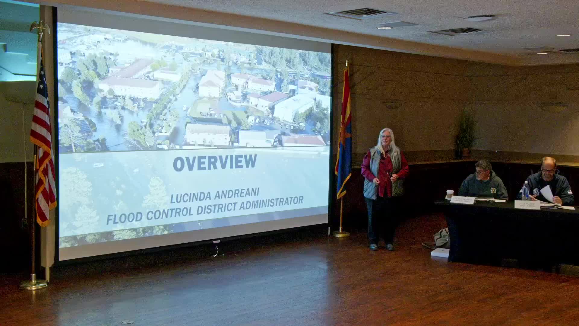
Summary
Coconino County Flood Control District staff told the Town Council that they will present an ordinance adopting locally derived floodplain maps for the Tucson watershed at the Coconino County Board of Supervisors meeting on Dec. 9, with public notice planned for about Nov. 9.
Coconino County Flood Control District staff told the Town Council that they will present an ordinance adopting locally derived floodplain maps for the Tucson watershed at the Coconino County Board of Supervisors meeting on Dec. 9, with public notice planned for about Nov. 9. The district says the maps are intended to reflect the best available science, not to block or encourage development.
Lucinda, a Flood Control District representative, said the change responds to decades-old FEMA Zone A maps that were often drawn from paper contours and digitized with errors. “We needed to stop speculating and use the very good science that we have today,” she said, introducing the technical team.
Ian Sharp, a civil engineer with JE Fuller Hydrology, presented the modeling and results. The study analyzed a roughly 59‑square‑mile watershed, used field reconnaissance and the August 2023 flood to calibrate models, and produced design discharges and water‑surface elevations for recurrence intervals including 10‑, 25‑, 100‑ and 500‑year events. Sharp cited example discharges at the wastewater treatment plant: a 10‑year event of about 940 cubic feet per second (CFS), a 25‑year event of about 3,500 CFS and a 100‑year event around 10,200 CFS; the August 2023 event produced about 1,400 CFS at the town gauge.
Using the hydraulics results, staff said the FEMA Zone A map currently identifies about 21 parcels that contain roughly 49 permanent structures; the proposed local floodplain would encompass roughly 54 parcels and about 71 permanent structures. The district will change ordinance language to create a single “regulatory floodplain” that includes both FEMA‑mapped and locally recognized floodplains; staff said the substantive development standards applied in the local floodplain will mirror the existing FEMA‑based rules, including the 1‑foot freeboard and the no‑adverse‑impact requirement.
Staff and the town engineer, Jack Moody, said a third‑party reviewer (Atkins/Linda Potter) and town review determined the JE Fuller study follows FEMA and industry standards and therefore should be treated as the “best available data” for project review. Moody said the town has been using the study in development reviews already and that the mapping gives engineers and property owners a clearer basis for locating and designing buildings, elevations or floodproofing measures.
On insurance and permitting, staff explained that federal mortgage and NFIP flood‑insurance requirements are triggered by being inside a FEMA‑mapped special flood hazard area; a county‑only local floodplain does not automatically carry the federal mortgage insurance trigger. Staff recommended owners in a local floodplain consider insurance but emphasized that mandatory NFIP insurance typically applies only inside FEMA‑mapped areas. Staff also said owners may hire private engineers to challenge or refine the study for a specific property; the study provides the baseline water‑surface elevations that would be used in those reviews.
Staff said they do not intend to designate a FEMA‑style floodway for the Tucson mapping because an administratively imposed floodway would effectively prohibit development across much of the mapped area in this urban setting. They also explained the substantial‑improvement (50%) rule: if reconstruction or improvements exceed 50% of a structure’s pre‑loss value, the building must be brought up to current elevation/floodproofing standards; a designated floodway would make reconstruction substantially harder.
On mitigation and funding, staff said the district and town are pursuing grants for structural measures. Lucinda estimated in‑town mitigation components (storm drains, inlets, the outfall channel) at roughly $25–35 million in current dollars; larger flood‑retarding structures in upland/forest areas would add “tens of millions” more. Staff said a grant they are pursuing currently caps awards to Arizona projects at about $30 million; they described phasing options if a partial award is received and noted the district has previously secured large federal investments for other post‑wildfire flood mitigation efforts.
District staff described outreach materials and tools: a project page on the flood‑control website, parcel‑level GIS products, mailed notices and offers for one‑on‑one meetings. Several property owners raised questions about legal liability and whether the county must mitigate once it identifies risk; staff said they were not providing legal opinions and recommended property owners consult attorneys, but they emphasized the district’s public‑safety orientation and willingness to work on mitigation and emergency preparedness (gauges, sandbags and similar measures).
The presentation concluded with staff offering to meet individually with property owners and reminding the public of the Dec. 9 board schedule and the need for a public notice about a month earlier.
Ending note: The district and town officials said the effort is focused on public safety, improved information for owners and engineers, and on advancing mitigation funding and designs; the Board of Supervisors will receive the ordinance and maps for consideration on Dec. 9.