San Antonio releases Kleinfelder analysis of June 12 Bridal Creek flood; city outlines steps to reduce future risk
Get AI-powered insights, summaries, and transcripts
Subscribe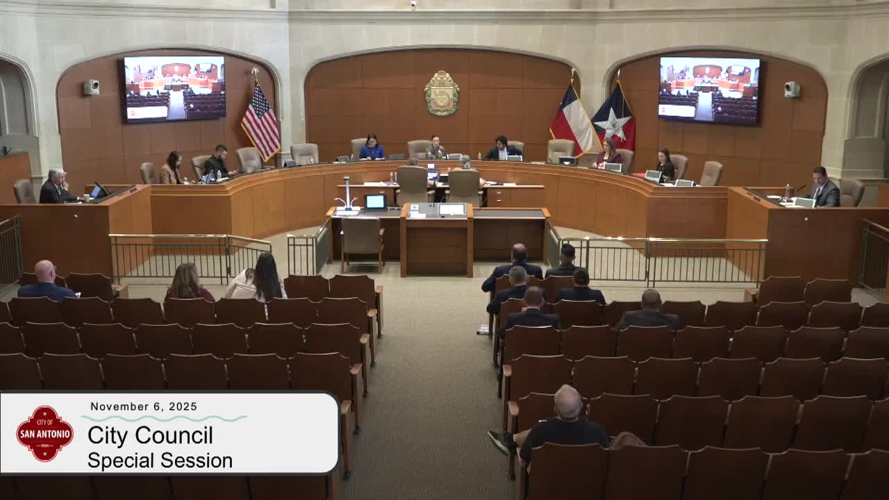
Summary
The San Antonio City Council heard an independent analysis on Nov. 6 of the June 12 Bridal Creek flood that swept vehicles off the westbound Loop 410 frontage road and resulted in multiple fatalities.
The San Antonio City Council heard an independent analysis on Nov. 6 of the June 12 Bridal Creek flood that swept vehicles off the westbound Loop 410 frontage road and resulted in multiple fatalities. Justin Murray of Kleinfelder, Inc. told the council the event was "consistent with a 25 year storm event" and that dense vegetation just north of the frontage road caused prior models to underpredict water-surface elevations at the Loop 410 sag point.
The analysis and city response matter because the hydraulic modeling validated by more than 300 high-water marks showed rapid inundation and high velocities on the frontage road during the pre-dawn hours. City staff said they will act on the report’s recommendations to reduce the probability of a repeat and to improve public safety and operational response.
Justin Murray, a Kleinfelder consultant, summarized the firm’s scope and findings: a combined integrated hydrology-and-hydraulics (H&H) model for the roughly 13-square-mile Bridal Creek watershed, a detailed hydraulic model for the area around Loop 410, bridge structural reviews and geotechnical channel assessments. Murray said the team collected high-resolution lidar, bridge surveys, bathymetry and about 303 high-water marks to validate model results.
Kleinfelder found the rainfall on June 12 matched a 25-year event (roughly a 4 percent chance in any year) with a peak intensity near 6 inches per hour during the event’s highest ~10-minute window. "The single biggest reason that the June 12 event happened was the rainfall," Murray said, and added that the previous best-available modeling did not accurately depict depth and velocity along Loop 410 because of roughness assumptions in dense vegetation immediately north of the frontage road. The firm reported many high-water marks were within 0.5–1 foot of the modeled water-surface elevation and that more than 80% were within the study tolerance of 2 feet.
Model animations presented to council showed flow peaks beginning upstream (near Judson Road around 4:04–4:05 a.m.), connecting to the frontage road by roughly 5:02 a.m., and receding about an hour later. At the sag point the model indicated depths rising from about 6 inches at 4:15 a.m. to roughly 1.5 feet at 4:30 a.m. and approximately 4 feet by 5:00 a.m.; velocities at the sag point were modeled near 8 feet per second.
Kleinfelder’s recommendations included installing a staff gauge at the Loop 410 sag point with flashing lights and warning signs; working with the Texas Department of Transportation (TxDOT) to elevate or otherwise protect the frontage road; expanding TxDOT criteria for assessing flooding frequency, depths and velocities; improving interagency emergency-response protocols; relocating gauges downstream of crossings and updating gauge datums; expanding sensor networks (rain gauges, cameras and automated barriers) and integrating predictive flood-modeling tools; expanding 2-D hydraulic modeling across the city; and conducting a legal review to clarify maintenance responsibilities and drainage easements.
John Potarek, city staff, told the council, "the city of San Antonio will be working with our partners to adopt all of these key recommendations." Potarek described immediate and near-term actions: TxDOT has installed high-water signs at the sag point and Austin Highway underpass as an interim step; the city has established a protocol to preemptively close the westbound frontage road when upstream gauges indicate flooding; gauge datums and locations are being updated as part of the next-generation flood-warning system in coordination with the San Antonio River Authority and Bexar County; and channel repair funding for parts of the watershed was included in the FY26 budget.
Potarek also said the Vicar Road low-water crossing affected by the June 12 event will not be reopened and that the city will pre-stage barricades and coordinate closures with TxDOT when sensors indicate a flood threat. He said staff will provide quarterly updates to council on implementation progress and partner coordination.
Council members praised staff and the consultant, expressed condolences for the lives lost and emphasized the need for a holistic, transparent plan and additional funding. Mayor Jones and multiple councilmembers noted largescale projects on the state flood plan and said state and federal funding will likely be necessary: council discussion referenced 14 state-scoped projects totaling about $411,000,000, as a point of comparison for the scale of needed investment.
The presentation and city statements describe policy and operational directions rather than formal legislation or votes at the Nov. 6 special session. Council requested quarterly implementation updates and acknowledged that many actions require coordination with TxDOT, the San Antonio River Authority and partners.
Next steps described to the council include: installing interim signage and staff gauges at the sag point; updating and relocating stream gauges and datums; integrating expanded sensor networks and 2-D modeling into the next-gen flood-warning effort; pursuing coordination with TxDOT on raising or otherwise protecting the frontage road; closing the Vicar Road low-water crossing permanently; applying FY26 channel repair funds in the watershed; and reporting back to council quarterly on progress and funding needs.
A copy of Kleinfelder’s independent post-event analysis and the city’s implementation plan are referenced in the presentation materials provided to council during the Nov. 6 special session.