Study: 12 Planned Developments Could Drive Union Road Traffic to Capacity; City Told to Plan Widening
Get AI-powered insights, summaries, and transcripts
Subscribe
Summary
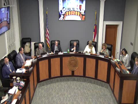
The Gastonia City Council on Nov. 6 heard a detailed presentation on the Southeast Gastonia Area Transportation Study — known as CGATS — which found that planned development in the Union Road / Union New Hope Road corridor could sharply increase traffic and require multi‑phase road widening and intersection work.
The Gastonia City Council on Nov. 6 heard a detailed presentation on the Southeast Gastonia Area Transportation Study — known as CGATS — which found that planned development in the Union Road / Union New Hope Road corridor could sharply increase traffic and require multi‑phase road widening and intersection work.
Consultant Brady Finkely of Kimley‑Horn told the council the corridor is now a largely rural two‑lane road serving schools and small neighborhoods but that 12 proposed or approved developments would add about 3,700 residential units plus commercial space. “Ninety percent of the growth for 30 years could be attributed to the 12 specific developments here,” Finkely said, summarizing model runs that compared regional baseline growth to the developments’ traffic impacts.
The study used two approaches — a planning‑level daily volume projection and a detailed peak‑hour traffic analysis — which produced consistent outcomes. Under a 2055 regional baseline (without the 12 projects) the corridor remained largely within existing two‑lane capacity; adding the 12 projects produced doubling to quadrupling of daily volumes in places. The consultant said west‑end volumes could rise from roughly 11,000 to above 17,000 vehicles per day and east‑end volumes from about 3,800 to more than 17,000 in some scenarios, exceeding common capacity thresholds for two‑lane facilities.
To accommodate projected growth, the report lays out a three‑phase mitigation plan keyed to development build‑out: a Phase 1 (roughly 40% of the projects, targeted around 2030) of intersection improvements and turn lanes; a Phase 2 (about 70%, targeted near 2032) requiring about 2.5 miles of corridor widening to four lanes; and a Phase 3 (full buildout, around 2034) extending widening another 1.75 miles east of Rufus Ratchford Road. The typical recommended cross‑section included a 110‑foot right‑of‑way, two 11‑foot travel lanes each way, a 23‑foot median where appropriate, and multiuse paths on both sides instead of separate sidewalks and bike lanes.
City staff and consultants acknowledged the estimates include assumptions about developer timing and density. City transportation staff said the study assumed Phase 1 would represent about 2,100 units and Phase 2 about 2,900 units; consultants said the 70% scenario in 2032 would represent roughly 2,900 of the total units if all projects moved forward as projected. Councilwoman Jennifer Stepp, chair of the Transportation Committee, said the study was intentionally proactive: “This helps the city stay ahead of growth,” she said at the meeting.
Council members pressed staff on several practical questions: how the phases align with actual developer schedules; whether the city can impose a moratorium; whether conditional zoning can be used to reduce density; and how much developers might be expected to contribute. Staff said North Carolina law and local practice allow the council to deny or conditionally zone developments and that developer contributions would be negotiated in each rezoning or TIA (traffic impact analysis) process. The consultant offered a cost estimate range: roughly $7 million to $10 million per mile to widen the corridor, and the study modeled about four miles of widening to cover the most affected segments, a generalized order‑of‑magnitude planning figure.
Staff also flagged coordination items with NCDOT and the regional MPO: a TIP (Transportation Improvement Program) project to widen South New Hope Road is programmed for the 2028–2032 timeframe, and the study did not assume that widening would be in place for Phase 1 analysis. The consultant noted some TIP elements (for example, a reduced‑conflict intersection) may need to be revisited because the character and volumes of the corridor would change if the clustered developments proceed.
What the study does not decide are funding sources or exact design schedules; staff told council the CGATS is meant as a guiding framework to inform rezoning, developer negotiations and future capital programming. Council members asked staff to continue coordination with NCDOT and to schedule smaller briefings so members not on the transportation committee could review scenarios and provide direction.
Why it matters: the study shows that clustered residential growth in southern Gastonia could overwhelm existing two‑lane rural roads within a decade, and that addressing it proactively — through right‑of‑way planning, corridor cross‑sections and negotiated developer contributions — will affect the timing and cost of infrastructure and housing development in the area.
What’s next: staff will continue discussions with DOT and the MPO, follow up with developers and schedule small‑group briefings with council members to refine policy choices and potential funding approaches.
