Get Full Government Meeting Transcripts, Videos, & Alerts Forever!
Get email alerts on the Land Parcels Protection topic
No spam. Unsubscribe anytime.
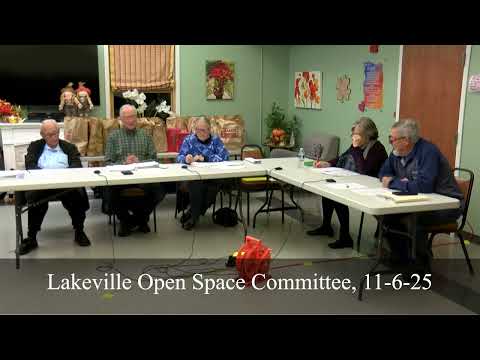
Lakeville committee inventories town parcels, flags protection questions for Howland Road and Chapter 61 parcels
Summary
The Open Space Committee reviewed a draft inventory of town-owned parcels and protection status on Nov. 6, requesting updated assessor data and clarifications about Chapter 48C/Chapter 97 protections and a Howland Road acreage question. The committee will receive revised parcel IDs and protection designations at its December meeting.
Committee member Joan presented a draft spreadsheet listing town-owned parcels, current protection status (perpetual, temporary, unprotected), acreage and suggested priority attributes. The review identified several follow-up tasks: confirm assessor parcel IDs and acreage (particularly Howland Road), verify protection types for parcels listed as Chapter 48C or Chapter 97, and cross-reference parcels with Priority Production Areas (PPA) and conservation restrictions.
Joan told the committee she had contacted the assessor’s office for updated parcel data; the assessor’s office has been operating with an interim assessor and some files were not updated. The committee noted one parcel (70–71 acres) was confirmed with an updated Chapter 61 plan effective 2025–2034; another 15.6-acre parcel near the Berkley line appears to have an expired Chapter 61 enrollment (showing expired in 2021) and is under follow up with the owner, the assessor’s office and Mass DCR’s service forester.
Committee members discussed protection categories. Joan explained some parcels are protected under Chapter 48C or Chapter 97 and cannot be removed from protection without a town vote and higher-level approvals; she agreed to provide clearer labels and parcel IDs at the next meeting.
Action items: staff will request a full assessor-exported parcel spreadsheet with parcel IDs and acreages, crosswalk vacant-land parcels against Priority Production Areas (PPA) GIS layers, and circulate an updated table at the December meeting. The committee directed staff to add clear protection-status labels ("perpetuity," "temporary," or "unprotected") in the parcel inventory.
Provenance: topicintro at 00:38:00 (Joan begins presentation of town-owned parcel list) and topfinish at 00:45:20 (committee requests updated assessor data and next steps).