Get Full Government Meeting Transcripts, Videos, & Alerts Forever!
Get email alerts on the Local Floodplain Mapping topic
No spam. Unsubscribe anytime.
Coconino County presents new local floodplain maps for Tuscon, says adoption would reflect public-safety risk
Summary
Coconino County Flood Control District staff on Nov. 8 presented new hydrology and floodplain mapping for the Tuscon watershed and said they plan to ask the district board to adopt a regulatory floodplain that would include the new local mapping at a Dec. 9 board session.
Coconino County Flood Control District staff on Nov. 8 presented new hydrology and floodplain mapping for the Tuscon watershed and said they plan to ask the district board to adopt a regulatory floodplain that would include the new local mapping at a Dec. 9 board session.
Lucinda, a representative of the Coconino County Flood Control District, said the district paid “a couple $100,000” for updated science and that the goal is to "reflect the risk accurately" rather than to "prevent or enhance development." She said the district would issue public notice in advance of the Dec. 9 board meeting.
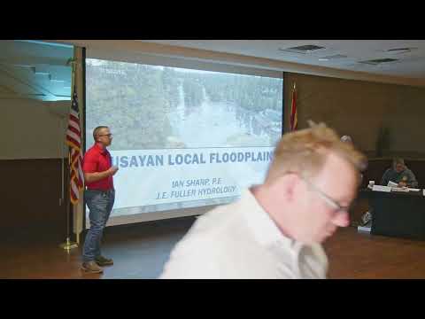
The new mapping, prepared by JE Fuller Hydrology, layers the existing FEMA Zone A (an approximate federal special flood hazard area) with a larger locally defined floodplain. Ian Sharp, a civil engineer with JE Fuller Hydrology, said the firm modeled discharges across the 59-square-mile watershed, calibrated the model to the August 2023 storm and produced depth and inundation results used to derive the local flood limits. "The gauge by the treatment plant" recorded about "1,400 cubic feet per second," Sharp said, "enough water to fill an Olympic swimming pool in a minute." He contrasted that observed value with the modeled 100-year discharge of 10,200 cfs.
The consultants and town staff presented counts of affected properties: 21 parcels and 49 permanent structures fall within the FEMA Zone A map; the proposed local floodplain covers 54 parcels and 71 permanent structures. Staff emphasized those counts are from parcel- and structure-level queries of the mapping product and do not necessarily include mobile homes unless they appeared in the permanent-structure data set.
Staff and the town engineer, Jack Moody, said the district intends to revise the county floodplain ordinance to adopt a "regulatory floodplain" definition that includes both FEMA and local floodplains. John Carr of the community development department said the specific regulatory requirements — including the one-foot freeboard over base flood elevation and no-adverse-impact standard — would remain unchanged. Moody said he and a third-party reviewer (Atkins, reviewer Linda Potter) concluded the study follows industry and FEMA standards and that the county should treat it as the "best available data." That designation is the technical basis engineers use for permitting reviews in mapped but approximate flood hazard areas.
Staff explained differences in insurance and permitting: being in a FEMA special flood hazard area can trigger federally required flood insurance for federally backed mortgages; being in a local floodplain does not automatically trigger that federal requirement, though staff recommended property owners consider insurance. Staff also said local floodplain designation means applicants would work with the district for the regulatory review rather than going through FEMA procedures, and property owners retain the option of commissioning site-specific engineering studies if they disagree with the mapping.
Residents and developers asked whether local designation creates liability for the county or town to protect residents. Staff repeatedly said they were not offering legal advice and that they were not aware of a strict legal obligation for the district to mitigate privately owned property; they urged owners to maintain insurance and noted FEMA individual assistance has qualification thresholds and a cited maximum individual assistance amount of $32,000.
Staff described outreach already completed: mailed letters and FAQ packets to property owners, a new web map and parcel lookup tool on the flood control district web page, distribution of flyers at the meeting and offered one-on-one follow-up meetings. The district also said it is taking ownership and maintenance of existing local river gauges and may install additional gauges to improve event response with the National Weather Service.
On mitigation funding, staff said the town and district are pursuing federal grants and identified an approximately $25–35 million rough estimate for the in‑town storm-drain and channel measures presented; larger upstream flood-retarding structures could cost "tens of millions" more. Staff said a currently targeted federal grant available to Arizona projects has about a $30 million maximum for any single project and said they plan to apply; they described engineering work (including geotechnical studies and right-of-entry for test pits) needed to refine cost estimates.
Staff stressed the district's stated purpose is public safety: "This is a public safety project," Lucinda said. They urged property owners to use the new online tools to review parcel-level results and to meet with staff if they have specific concerns. The district plans to present the ordinance amendment and adoption of the local mapping to the county board on Dec. 9 and to continue targeted outreach while pursuing mitigation funding and further engineering.