Broadwater County planning board pauses Spiker Track B minor subdivision after packet errors
Get AI-powered insights, summaries, and transcripts
Sign Up Free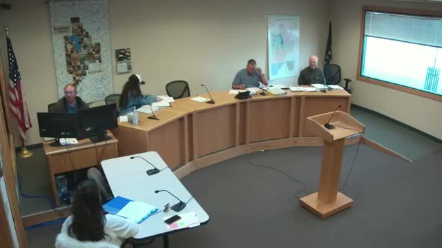
Summary
The Broadwater County Planning Board paused consideration of the Spiker Track B minor subdivision on Nov. 10 after members identified multiple mapping and documentation errors in the developer's application.
The Broadwater County Planning Board paused consideration of the Spiker Track B minor subdivision on Nov. 10 after board members identified multiple errors and inconsistencies in the application materials.
"I make a motion that we pause this application until we find it satisfactory and complete," said Charles Freshman, a board member, who moved to pause the application. The motion was seconded and carried on a voice vote; no roll-call tallies were recorded.
The board and County Community Development Director Nicole Brown cited five specific problems in the binder: an incorrect vicinity map that labels Tract A instead of Tract B, inconsistent statements about covenants between the title commitment and later tabs, a water-rights abstract that appears to refer to a different parcel, a flood-plain map that does not show the subdivision's actual location, and a cultural-resources (Shippo) entry that appears to be placed in the wrong section. "The FEMA flood plain map is incorrect. We need that correct. We need the parcel actually shown. The soils map is incorrect. We need the actual parcel shown. The vicinity map is incorrect. We need to show only the subdivision parcel. And the fourth item, the water rights report is not for the subdivision, so that should probably be removed," Brown said.
Board members discussed technical details raised in the packet review. Members noted that the driveway approach application will be signed by Public Works after the approach is installed and that if culverts are required the Public Works department would ensure those are provided. One member pointed out that a title commitment page indicates covenants created in 2013 for a small corner of the larger parent parcel, while another tab shows "NA" for covenants; Brown explained the 2013 covenants apply to a previously created small tract and are not applicable to the current Tract B.
Members also questioned whether the water-rights abstract should be included in the binder because the abstract appears to describe a stock well on a different, larger amended tract and not on Tract B itself. The planner acknowledged the abstract's location is unclear and recommended removing it if it is not applicable.
After discussing the errors and weighing options — approve, deny, approve with conditions, or pause — the board voted to pause the "clock" on the application until corrected materials are provided to Planning staff. Nicole Brown said pausing the time clock is permissible under Montana Code Annotated when errors are found and corrections are required. The board specified that corrected versions of the FEMA flood-plain map, the soils map, a corrected vicinity map that shows only the subdivision parcel, and removal or correction of the water-rights report must be provided before the application will be reconsidered.
The board asked the developer's representative to update binders and provide the corrected materials to Planning staff; members agreed the pause would not be punitive but intended to ensure an accurate administrative record for the commission's eventual review.
The planning board did not take any additional formal action on the subdivision at the meeting; the motion to pause was the only formal outcome recorded in the discussion.
The board will announce the next meeting date after it receives the corrected materials from the developer's representative and staff.