Mason council adopts 'Make the Mile' master plan and new downtown zoning
Get AI-powered insights, summaries, and transcripts
Sign Up Free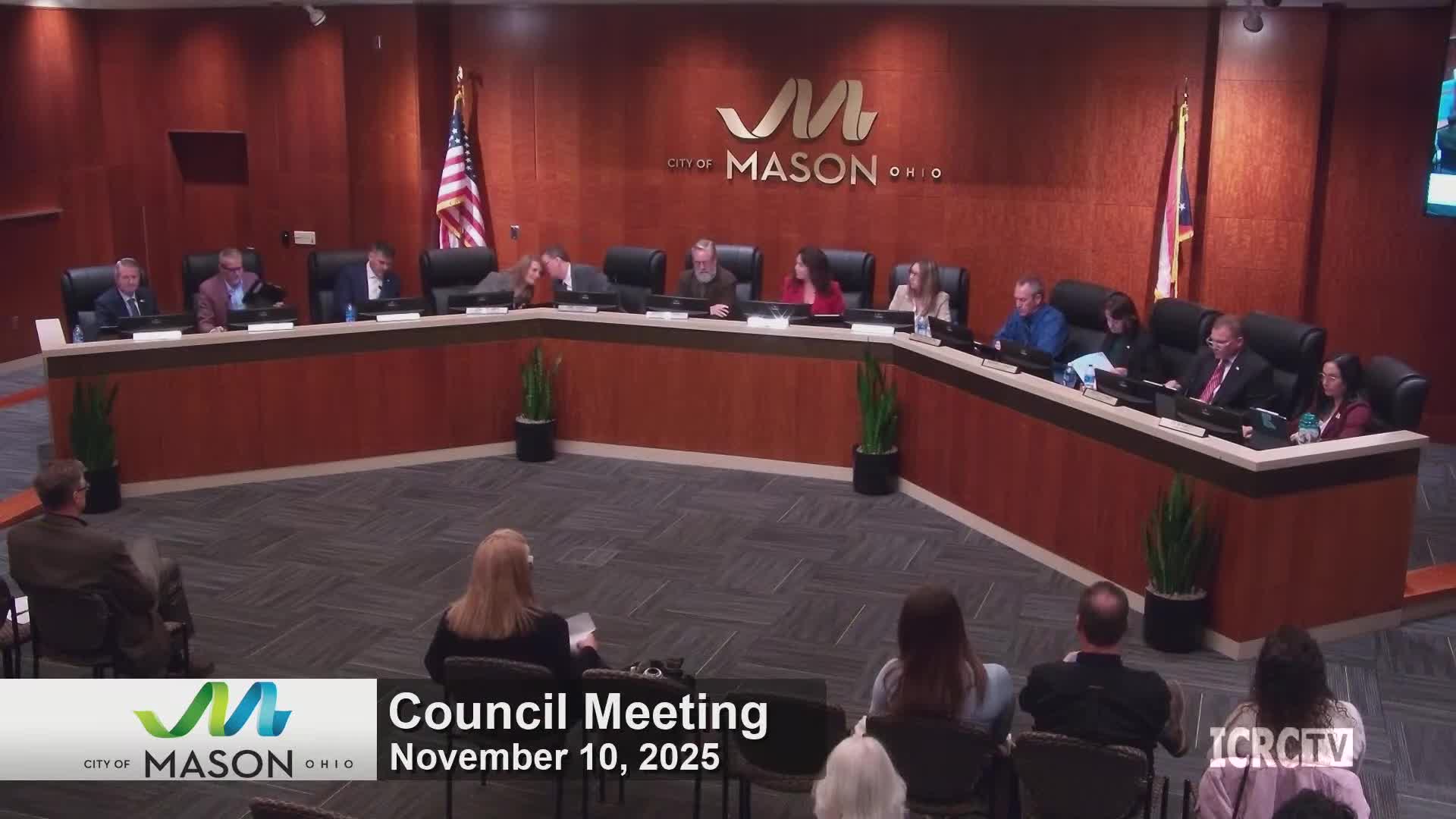
Summary
After years of planning and public outreach, Mason City Council adopted the Make the Mile master plan and companion zoning updates to guide redevelopment of the one-mile downtown corridor; the package includes new subdistricts, parking guidance and a residential density overlay and passed after a minor amendment to outdoor seating rules.
Mason City Council on Tuesday adopted the Make the Mile master plan and a series of zoning code changes designed to guide development along the city’s one-mile downtown corridor. Council approved the plan and the implementing code, which creates the Downtown Mason Mile district with subdistricts for low- and medium-density residential areas, commercial transition zones and downtown core standards.
The plan’s presentation, led by Nick Davis of Hauser Levine, summarized an engagement effort that collected more than 700 surveys and held more than 60 workshops. “This is a road map for the next 10 years,” Davis told council, framing the document as a policy guide to prioritize projects such as pedestrian improvements, consolidated parking districts and place-making features.
Staff and consultants emphasized the difference between the master plan (a policy document) and the zoning code, which will carry regulatory requirements. Jordy Bacon, the city planner, explained how large properties that require special review would likely come forward as planned unit developments (PUDs): “With a PUD, whoever is developing the property gets to craft their own zoning,” Bacon said, describing the public-review steps that would follow any PUD application.
During public comment, property owners and downtown merchants urged tweaks to mapping and called for more near-term sidewalk and traffic-safety fixes. Richard Cox, whose properties abut parts of the proposed district, asked that several blocks be designated medium density rather than low; staff responded that those concerns could be addressed during the rezoning map review and that the master plan is meant to be a dynamic, revisable playbook.
Council approved a narrow amendment to clarify outdoor seating fencing standards and then adopted the plan and the related code provisions. The ordinance implementing the plan passed by roll call after the amendment, and council directed staff and the CDC to continue public engagement as the zoning map is applied parcel-by-parcel.
What happens next: rezoning of specific parcels will move forward as a separate ordinance and individual property owners may apply for rezoning or variances in future hearings.