Get Full Government Meeting Transcripts, Videos, & Alerts Forever!
Get email alerts on the Land Use topic
No spam. Unsubscribe anytime.
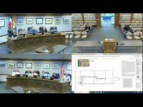
Cedar City planning commission backs zone and general-plan change for 39‑acre parcel, conditions recommendation on north–south connectivity
Summary
The planning commission voted to recommend that city council approve a general‑plan amendment and zone change converting a 39‑acre parcel near Canyon Ranch Drive from low‑density residential/MPD to Central Commercial, while asking the developer to work with the city to secure a future north–south connection to relieve a known traffic bottleneck.
The Cedar City Planning Commission on Tuesday voted to recommend that city council approve a combined general‑plan amendment and zone change to designate a 39‑acre parcel along Canyon Ranch Drive as Central Commercial, with the recommendation conditioned on the developer agreeing to work with the city on future north–south roadway connectivity.
The request, presented by the applicant’s agent (referred to in the hearing as Dallas), asked that the entire contiguous parcel — now partly shown as Central Commercial on the general plan — be changed from R‑1/MPD to Central Commercial to allow commercial buildout along the freeway frontage. Dallas told commissioners that roughly one third of the parcel is already mapped Central Commercial and the applicant seeks to make the remainder consistent with that designation.
Commissioners and city staff repeatedly raised traffic and circulation as the principal issues. Staff described an ongoing UDOT‑funded study of flow between Enoch and Cedar and said the I‑15 undercrossing is nearing capacity; the commission and staff said that creating an additional north–south connection through the affected properties is essential to avoid concentrating traffic at the Second East intersection. One staff member summarized the situation as a potential choke point that would benefit from a collector‑level roadway, while noting that UDOT is funding the study and any change to the undercrossing would depend on that broader programming.
Bryce Boyer, who identified himself as working with Project B Construction and said he is under contract on nearby mixed‑use land, told the commission a planned alignment on his preliminary drawings would cut across the applicant’s parcel and could provide the needed access into the higher residential ground above. The applicant and neighboring landowners, the record shows, have been in talks with SITLA and others about road dedications and joint solutions.
A member of the public, Anne, opposed pushing high‑density housing and "50‑foot buildings" close to the hills, saying repeated ad‑hoc zone changes undermine the general‑plan vision and change the city’s visual character. "I have a great concern over our only when we keep talking about high density housing ... 50 foot buildings," she said during public comment.
Commissioners debated whether to require a development agreement or to attach conditions that would limit initial intensity until adequate access is provided — for example, staged triggers tied to subdivision or construction that would require additional modeling for transportation and utilities. Several commissioners favored broad, non‑prescriptive language that would secure a future north–south connection without pinning an exact alignment on the record.
A commissioner moved for a positive recommendation on the general‑plan and zone changes, adding that the developer should agree to work with the city on a north–south connectivity road; the motion was seconded and the planning commission carried the recommendation to city council. The planning commission’s action is advisory; final decisions and any legal development agreement would be decided by city council and recorded through subsequent approvals.
Next steps: the recommendation will be forwarded to Cedar City Council for public hearings and final action. The commission discussed that detailed transportation and utility modeling will be triggered at subdivision or preliminary‑plat stages when more definite site plans are available.